Pintiza (1,032m) [P-302]
Summited On: April 5, 2026
Region: Loutraki, Corinth, Peloponnese, Greece.
Rating: ★★★☆☆
Partners: Terry Raissi
Overview
Pintiza (1,032m) [P-302] [”Πίνιτζα”] is the westernmost subsidiary massif of Geraneia Ori (1,369m), situated just above the historical provincial town of Loutraki (”Λουτράκι”), on the mainland side of the Corinth Canal and part of Corinth Prefecture. The mountain’s steep and rugged SW face rises 1,000m from Loutraki Bay and once formed an impassable obstacle protecting the Perachora (”Περαχώρα”) peninsula. Today it is often favored among other peaks of the range due to the spectacular views into the Corinth Bay and easy access to the main trailheads.
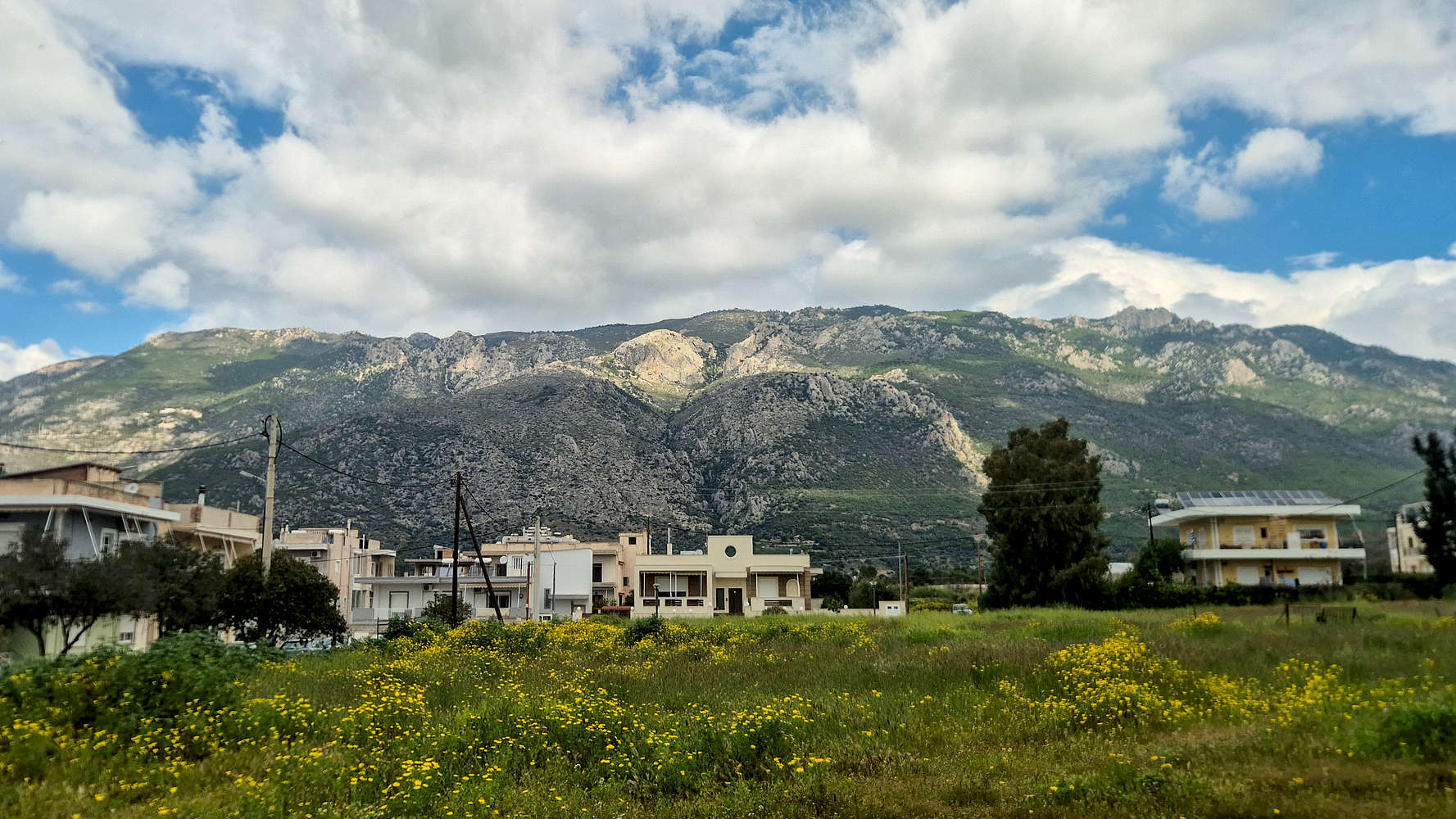
The South aspect of Pintiza (1,032m) from Loutraki.
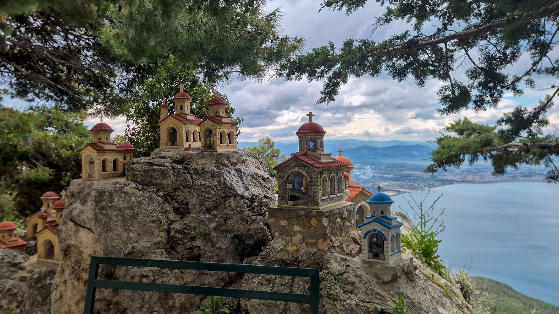
Iconostases with views of Corinth at Monastery of Saint Patapios.
The rugged geomorphology of the gigantic SW aspect often proved too difficult an obstacle for invading armies and imposed rulers, as a result, over the ages the broader area of the Perachora peninsula became a refuge for prosecuted populations. The ancient sanctuary of the Heraion of Perachora initially enjoyed prosperity and peace until its destruction by the newly Christianized Romans, but was notably one of the last sites to succumb to such a fate. Similarly, the area provided refuge for Christian monastic communities during the Ottoman period, giving rise to many of the monasteries which can still be found today.
Route
The South aspect route for Pintiza (1,032m) is one which is difficult to forget once you learn about it. With three different starting points, between 0m and 500m, it offers a very compelling proposition for a subsidiary peak route close to Athens. During our attempt, a combination of poor weather in other areas, and being short on time forced us to undertake the shortest possible route starting at the Holy Monastery of Saint Patapios, which nonetheless proved to be interesting. Most notable is probably the passage up to the now abandoned Monastery of Apostle Paul at 800m, offering great views of Corinth Bay. On our direct variation to the summit we faced difficult bushwhacking which could be avoided by using on of the Northern summit trails.
Arriving at an empty parking lot — except fora local vendor of tea and honey operating out of her car trunk — was good enough for us, since the hour-long drive was dispatched with painlessly. The sun had only been out for a couple of hours and although gloomy weather hung over the peaks of the Peloponnese, clear sky could be seen above us. We left the parking lot at 08:45 and walked into the Monastery of Saint Patapios in search of the trailhead. Needless to say we got lost but after a few minutes we found the correct left turn up some steps, before the main church, and guided by the odd signage — which forbids overnight passage on the peak — exited the building’s perimeter. We were welcomed into a characteristic low altitude South aspect with its tall pines and rocky trail; the arial view of the sea wasn’t bad either.
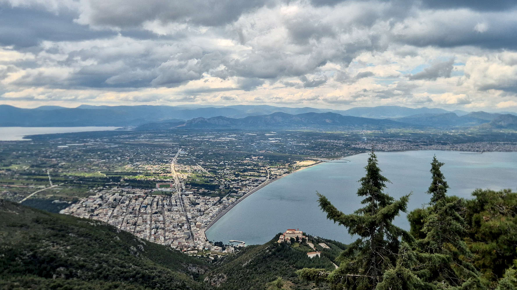
Loutraki and Oneia Ori (581m) from Monastery of Saint Patapios.
A cat following its own monastic practice.
This initial section features some of the steepest ground and is gained using a few long switchbacks. The popularity of the trail, its narrow track, and the limestone terrain combine for a couple of points in the T2+ range. Otherwise the trail is well-marked although narrow, and with pleasant vegetation of Aleppo Pine (Pinus halepensis) often blocking the views down to the bay. After 25 minutes we reached the denser vegetation which marks the beginning of the long traverse which follows. Luckily, soon enough the dense canopy is left behind and expansive view take its place.
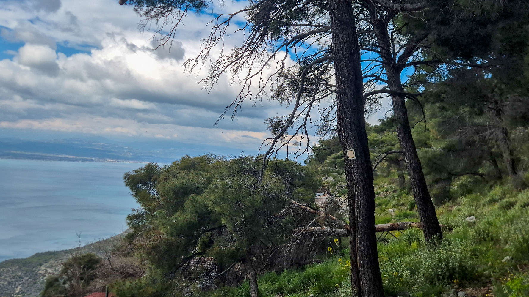
Yellow trail markings above the Monastery.
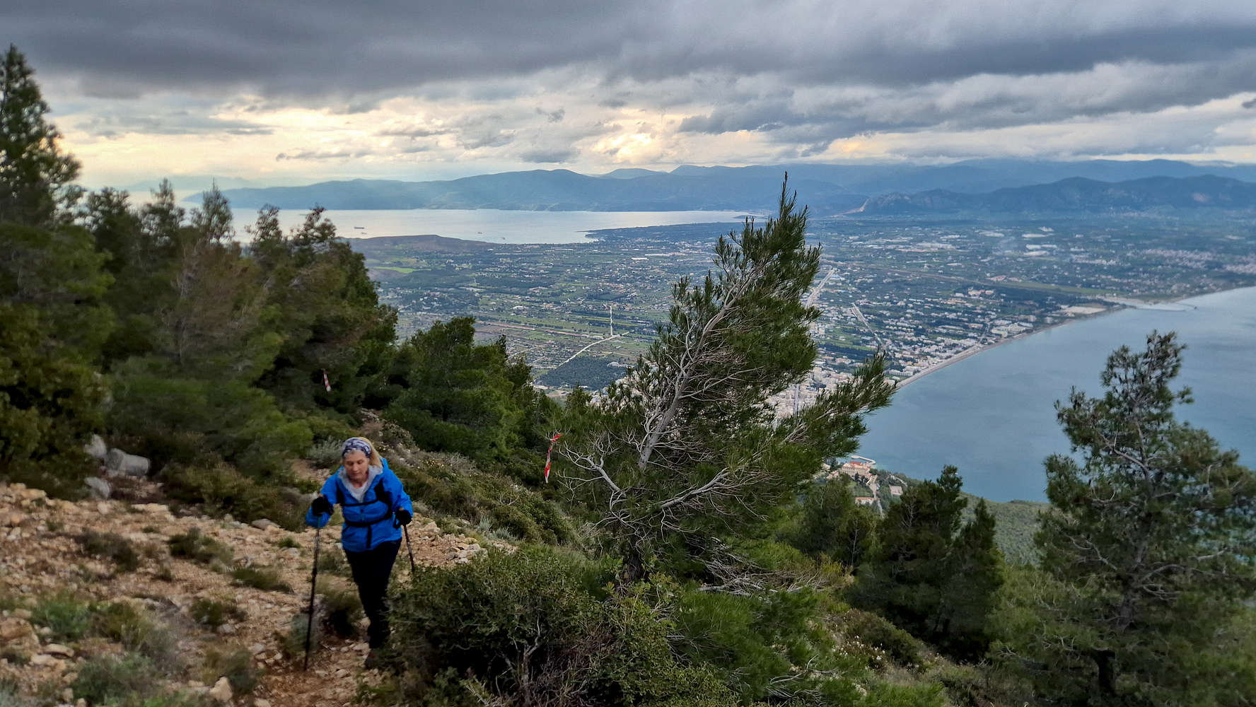
Breaking above the canopy on the traverse.
The long traverse is a highlight of the route as it gains elevation slowly, offering sweeping views, and working its way above a rather steep natural feature. While both rather narrow and exposed, the quality of the trail track itself makes its so that the going is safe and mindless (T2-). This section, just 30 minutes in duration is arguably too short with the expansive views of Heraion Peninsula and Heraion Lake stealing the show. Nearing the notch of the aspect which forms the imposing ravine above which we traversed the terrain becomes more rocky, and on an outcrop above the once electrified cross overlooking the Bay of Corinth made its first appearance.
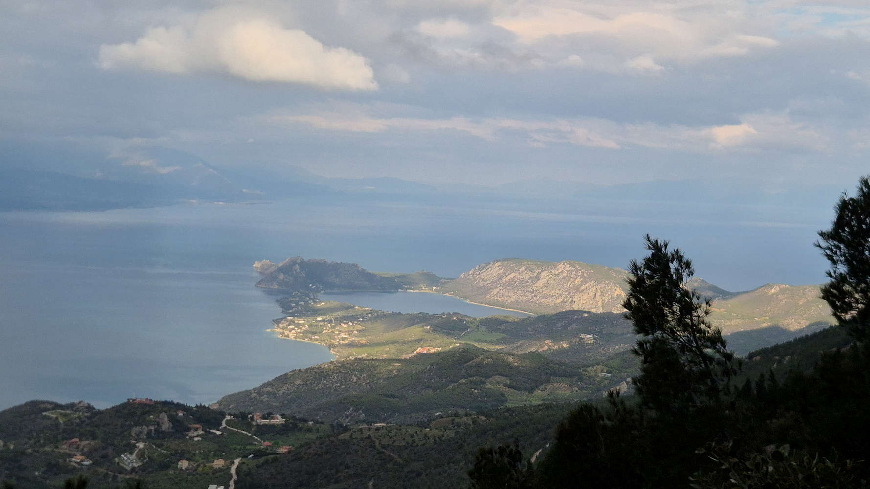
Zoomed view of sunny Heraion Lake.
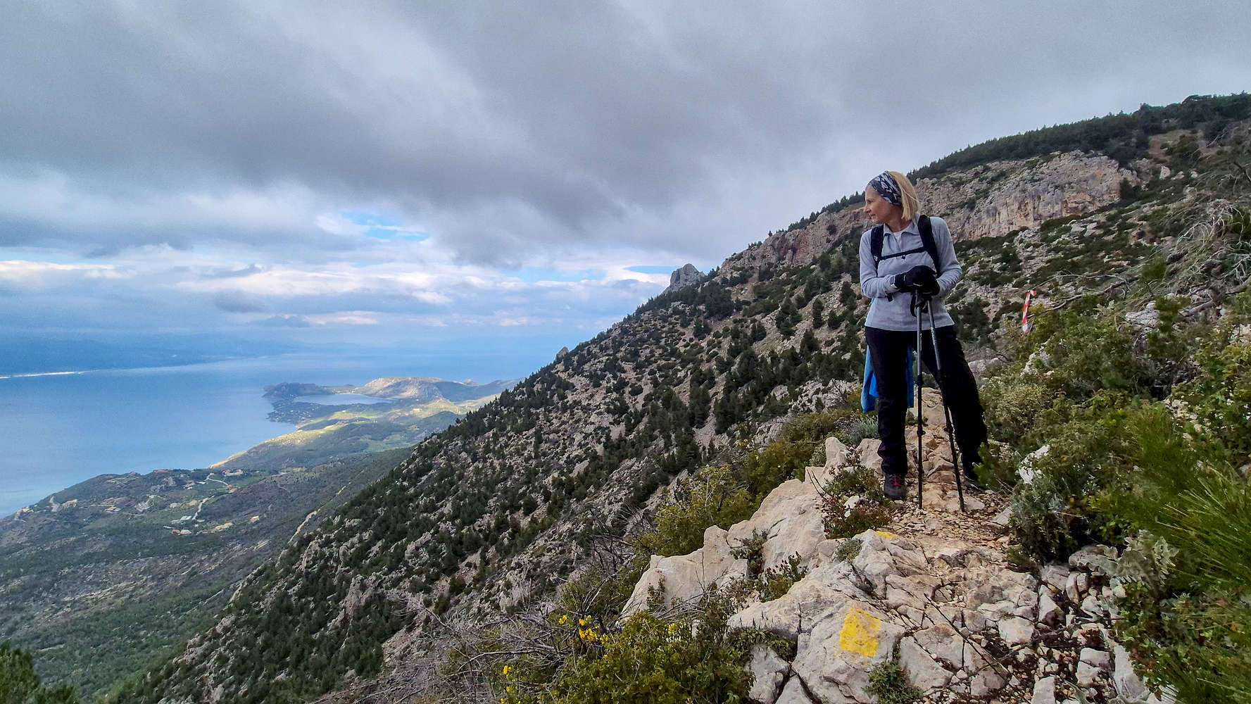
Terry posing on the traverse, Petra Perachoras (906m) just visible.
After about 1 hour from the monastery we finally made our way onto the forested summit ‘plateau’ where the abandoned Monastery of Apostle Paul is situated. Nearing it we ran into the first other hiker of the day - descending. We ourselves made a quick stop at its gate, just enough for some food and water before continuing, in deteriorating weather to the summit. A small drizzle had just began as we skirted around the building and towards a pass to the NE.
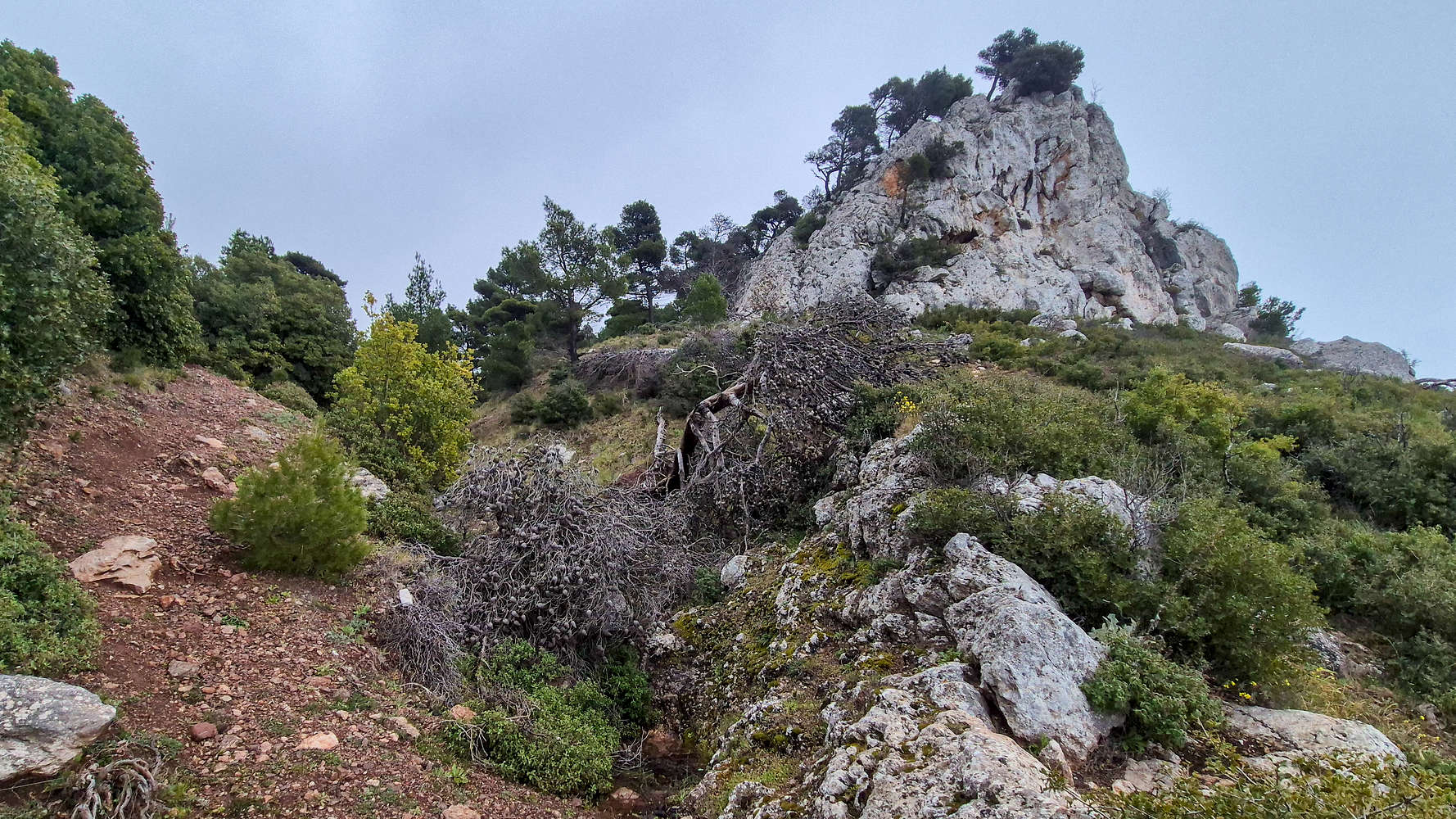
The outcrop and cross from the ravine springs.
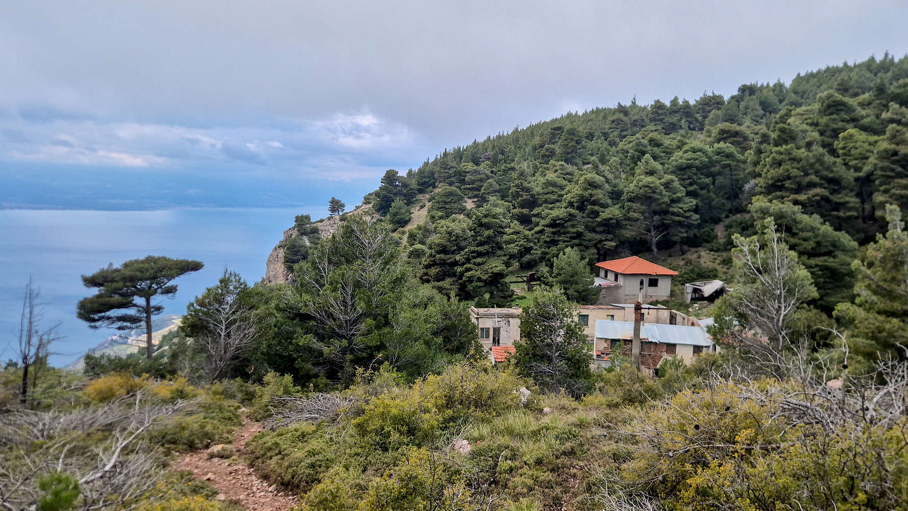
The Monastery of Apostle Paul above the Bay of Corinth.
The well marked trail to the pass, just a few minutes away, was easy to follow and well constructed given the environment (T2-). The turn-off towards the summit was much less well defined, and after slightly overshooting it, we followed vague signs of a path among recently fallen branches. Lower down the terrain leads up organically upwards through rocks, vegetation, and ledges (T3). With us nearing the small field below the summit proper it was only right that a short-lived but non-trivial rain started; wearing just a down jacket, I found myself scrambling for my emergency poncho. Crossing the field, still without markings, we again found vague traces of a route among the Greek Firs (Abies cephalonica) protecting the summit, only for them to lead into an overgrown maze. Luckily we are never above some bushwhacking and with a near geological pace made our way through the friendly but very dense terrain of the peak (T3, BW2-) and onto the tiny summit clearing. After 1:46 hours we sat down by the trig. point.
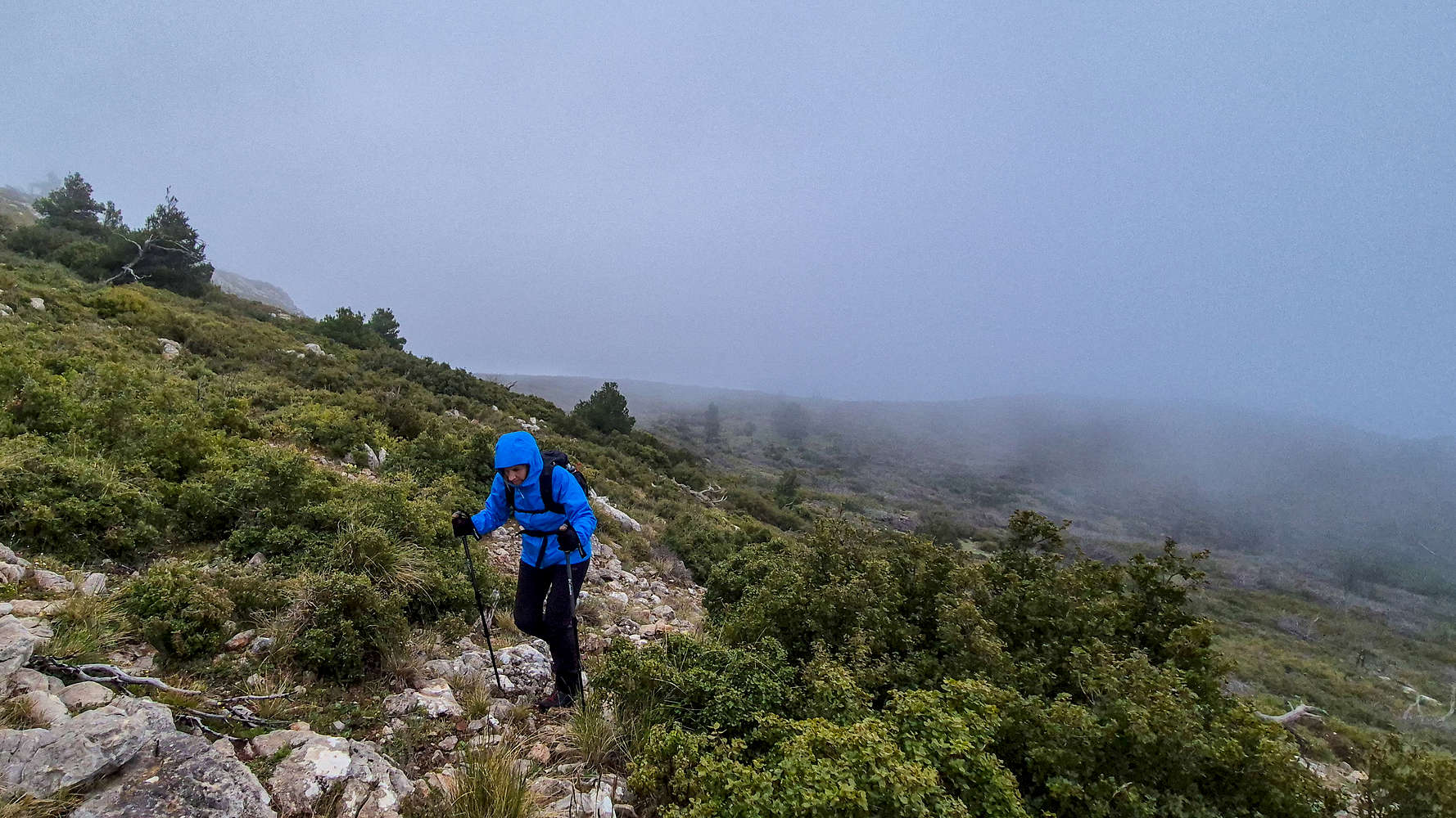
Rain and fog on the lower summit section.
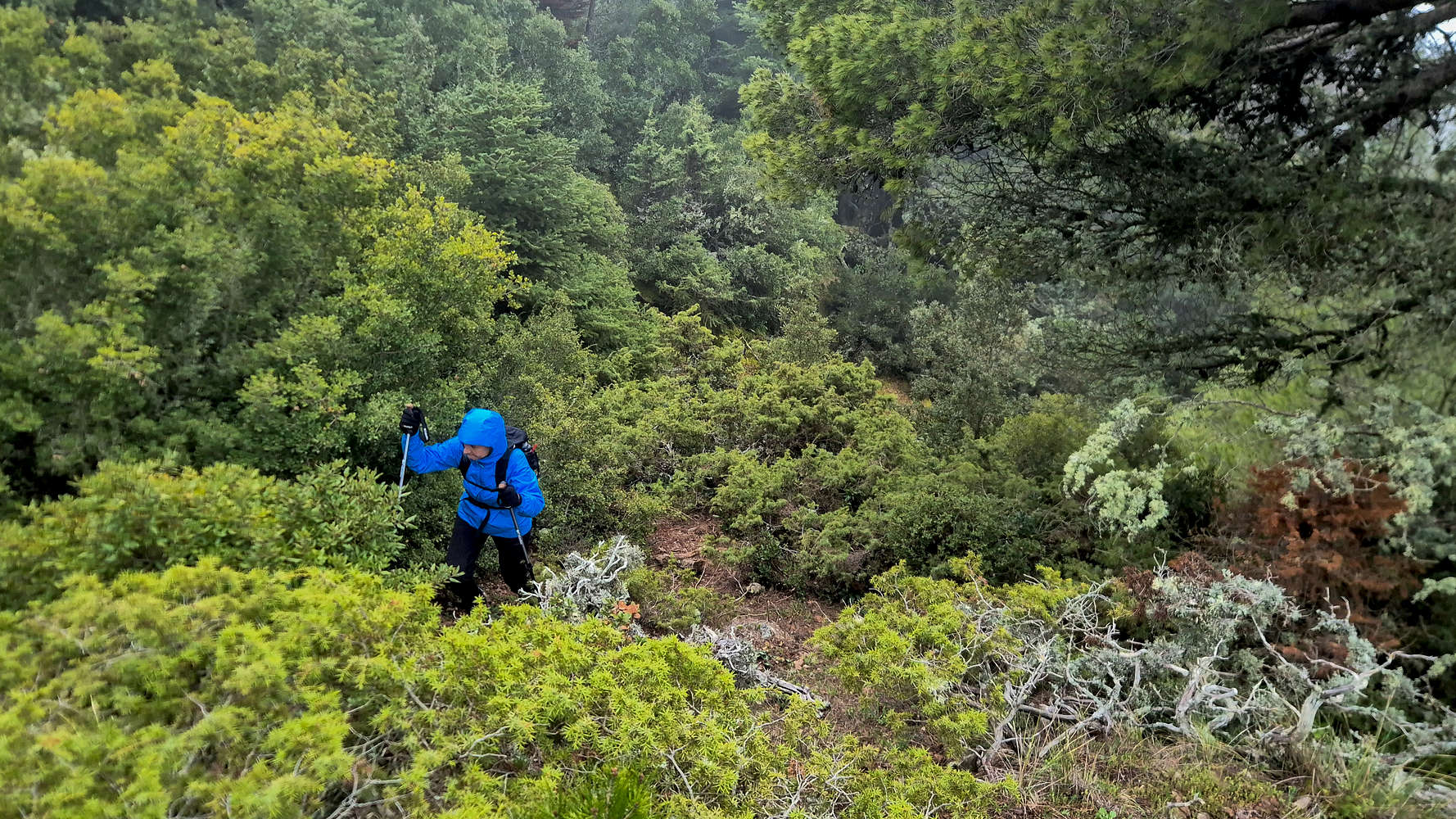
Bushwhacking just meters from the summit.
The damp and cool conditions enjoyed within the cloud afforded us only a few minutes at the summit, just enough for the necessary actions; some photos, some water, and some snacks. We both didn’t really look forward to retracing our descent, although the short distance to the marked trail was a welcome consolation. While the bushwhacking on the upper section was as if not more punishing (T3, BW2), the lower section fell quickly. Rejoining the main trail, we seem to have done so at the exact time the leaders of the 10th Geraneia Mountain Run (22km) were passing through. Returning back to the upper monastery a few more runner went past us; we would have to keep watching our backs to let them pass.
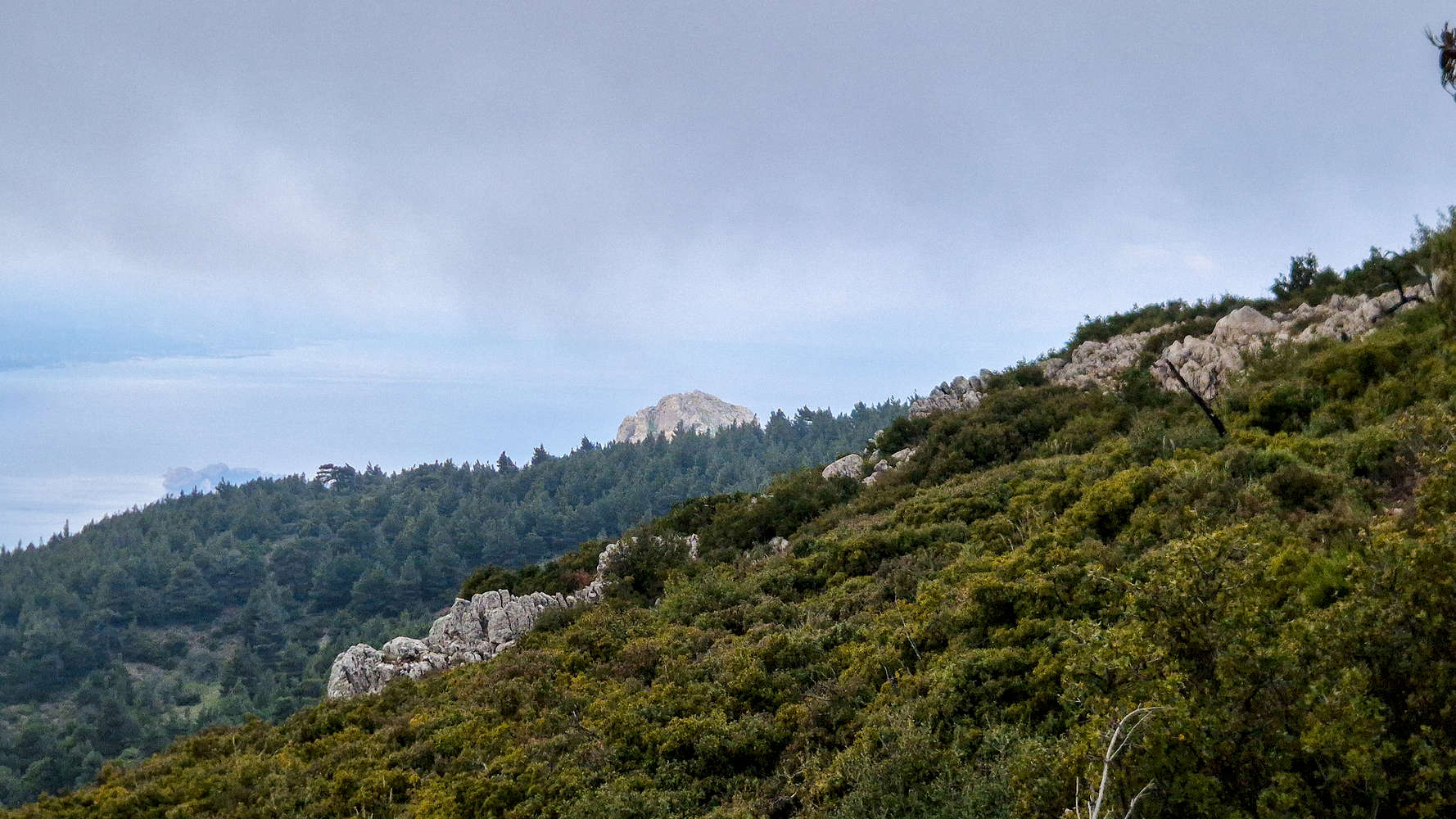
Petra Perachoras (906m) peeking above the firs.
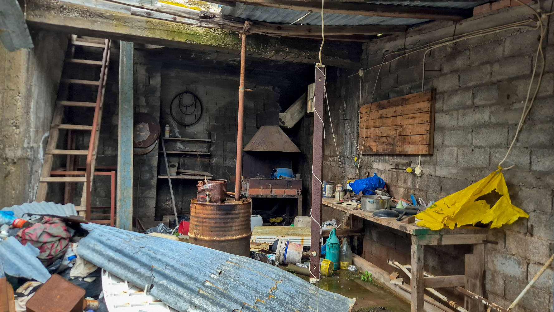
Dilapidated shed at the Monastery of Apostle Paul.
We rejoined the traverse in good spirits, and luckily the weather on the South aspect had so far remained sunny. Even better though was the fact that the majority of the runners were still far behind. Once again joined by views of Heraion Lake we made our way across the airy traverse. Reaching the switchbacks, the main body of the runners were hot on our tails and we often made way. About half way down the slope and during a lull of runners we heard some screaming and rushed uphill to ensure everything was alright. Asking the next runners we saw what happened we were informed it was just someone cramping and was already being assisted, so we turned back down. The switchbacks went uneventfully, although a bit more difficult on a busy track. After 1:30 hours we were back at the Monastery of Saint Patapios.
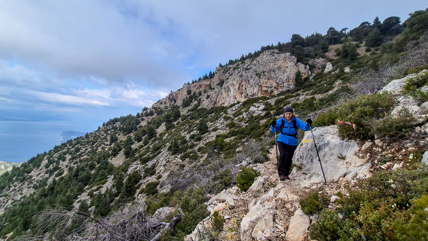
Descending the start of the traverse.
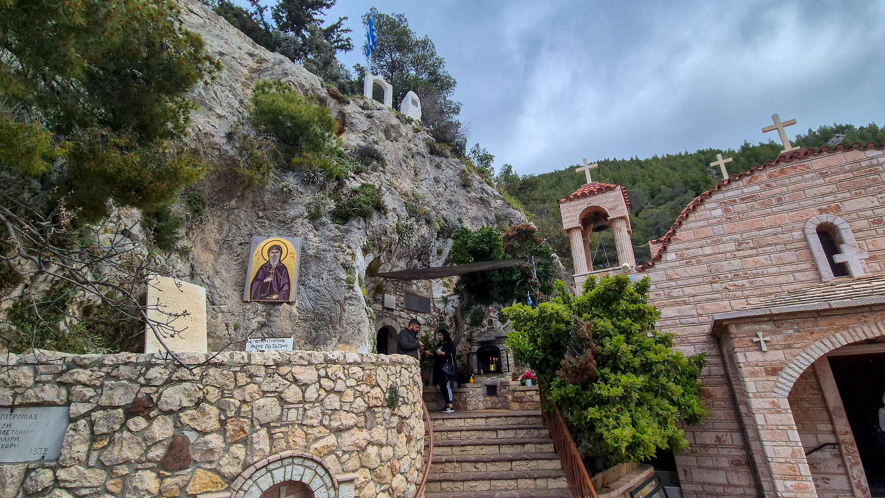
The skete at the Holy Monastery of Saint Patapios.
We also made sure to enjoy a short visit to the monastery and its historic Skete, where the bones of Patapios are being kept. According to legend they were brought there on the orders of the mother of Konstantinos Paleologos, the last Byzantine emperor. With it being Palm Sunday we also made sure to take some palm leaves. Finally, the day would not be over without buying mountain tea, and beeswax cream from the local seller we had seen earlier that morning.
Interactive Map
Logistics
With Loutaki being just an hours way away from Athens there were no logistics. We drove down into the town via the Athens - Corinth highway, purchased some water at a mini-market and parked at the gate of the Holy Monastery of Saint Patapios (📍 Google Maps). The route shown on Google Maps is steeper and narrow although generally good. Alternatively there is better access via Perachora.
Nearby Peaks
The following is a list of significant nearby peaks.