Farmakas (1,615m) [P-695]
Summited On: May 31, 2025
Region: Corinth, Peloponnese, Greece.
Overview
Farmakas (1,615m) [”Φαρμακάς”] is a relatively unknown P-600 in the Corinth administrative division of the Peloponnese. Its name literally translates to “he who has the medicine” due to the plethora of herbs and plants on its slopes. The mountain’s location directly to the East of the Oligyrtos (1,98Xm) [P-600] complex maintains a warmer temperature during the winter and often traps storm clouds during other months. It was on a stormy and rainy Saturday morning that we drove down past Corinth and into the Mycenean Core Ranges.
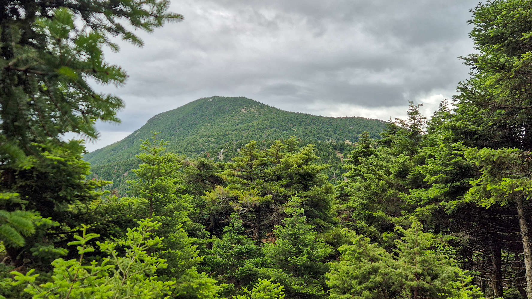
The summit of Farmakas as seen from the trail.
Although Farmakas (1,615m) seems quite boring from the point of view of an alpine enthusiast, its beautiful terrain, and exceptional history make it a worthwhile objective. Since the scenery will be discussed extensively in the route section, it is worth mentioning the history. On Farmakas’ NE summit “Frourio” or “Fortress” at ~1,490m there stands, well, the ruins of a fortress. Built atop the summit and with the NW side having collapsed due to landslide, the rocky ruminants of civilization look very out of place on this spectacular rocky summit. We sadly did not venture to this minor summit due to the weather but hope to return for a visit soon.
Route
The trailhead for this summits “Via Normale” is a municipal camping facility located at 1,175m and was closed on our visit, however, the lovely plateau just before is a convenient place for parking. A 4WD is recommended due to the steepness of the road just above the village of Gymno (”Γυμνό”) but a 2WD may be fine too. Luckily for us the road has cement over the steepest curves and not gravel making the drive a little easier.
Ascending the upper reaches of the gully through the pine forest.
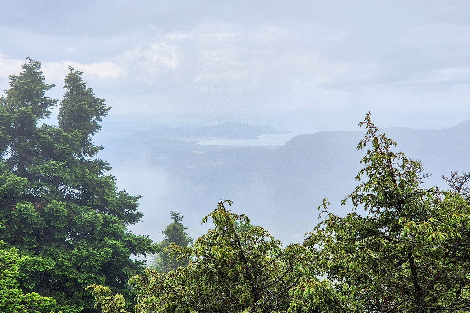
The only glimpse of a view, the S Corinth Bay of the Saronic.
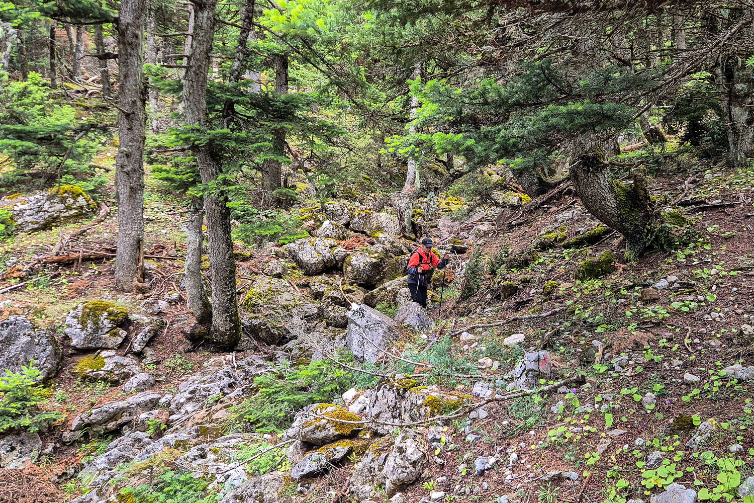
Starting from the ‘parking plateau’ and heading E-NE the start of the trail is marked with a bright white water tank out-building, on which a helpful red arrow is also painted. From here the gradual ascent of the gully begins. The marked trail follows a PVC pipe leading away and into the right bank (N) but we missed this and continued up the left bank for some distance. At this lower section the trail is not well marked or cleared and resorting to field navigation is preferred. Our luck was good as the weather stayed overcast but dry and we found the final and easiest passage to rejoin the trail on the right bank. From here the trail continues diagonally up the gully bank gaining both distance and elevation. In general the gully is followed closely but a route of “least resistance” is used, sometimes close and sometimes far away from the gully. This section ends abruptly as the gully turns into couple of terrace plateaus at around 1,375m.

Ruined foundations betray ancient presence on this remote ridge.
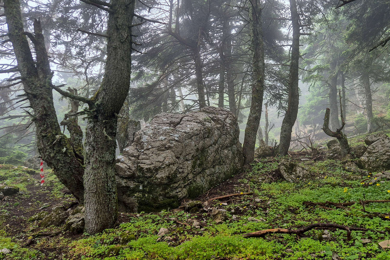
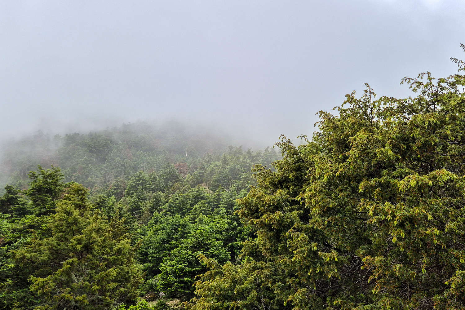
As far as forests go, this one looks pretty enchanted.
We continued onwards aiming to maybe rest at the ridge and followed the well marked ascent route up the assorted scree and shrubs. The terrain is not particularly steep but the large gravels were a bit of a pain in the light drizzle which had now started. About half way up this slope we decided to take a break under the only sizable tree which lasted much longer than expected as we called my brother and waited for the rain to die down. So an 18 minute break all in all and off we go again breaking to the very wide and gentle ridge. Here the trail stops - instead going up Frourio (1,490m) - and a short section of navigation on the ridge is required. Here go left (SW) and continue all the way across the ridge. At about 3/4ths towards the main summit the ruins of an old building can still be seen. This section ends at the intersection with the trail going down the N slopes.
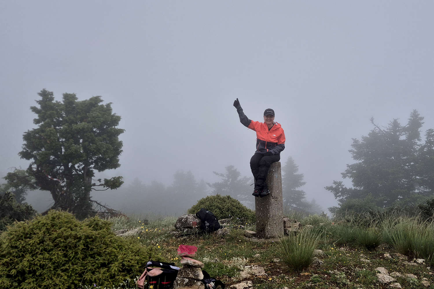
Terry a happy summiter!
A foggy look towards Frourio (1,490m)
The final section is the summit ascent which is well forested and makes for excellent hiking even in foggy conditions. Luckily for us we visited 1 day before the Farmakas Trail Races event and the trails were all very well marked. From the intersection the trail moves progressively W → SW slowly gaining elevation. This first part felt unnecessarily long, however, we were rewarded with great views of the silent forest. Since the trail ascends the E ‘spur’ of the summit the 90-degree turn is abrupt, and from here the elevation gain is consistent but using large switchbacks. The terrain is not challenging and the trail track is well defined. This majority of the second half is under forest cover with only a brief section of ridge, with trees all around, making up the summit. So when we reached the trig point in just over 2 hours all in, the exclamation of “that’s all?!” was well warranted.
The summit offered little protection from the rain so we quickly started on our return, backtracking the same route to the car in just under 1 hour. Nearly as soon as we finished changing back at the car a bout of proper rain finally started; it had kept us nice and dry but now it was time to head back home. Not after a short stop for a glass of wine at Nemea, the closest large town.
Interactive Map
Logistics
Self managed logistics as usual, drove in from Athens. No amenities used, had a refreshment in Nemea before driving back to Athens.
Nearby Peaks
Notable summits nearby Farmakas (1,615m) [P-695].
Farmakas (1,615m) [P-600]
Megalovouni (1,273m) [P-600]
Stavraetos (1,107m) [P-300]
Veszia (1,207m) [P-300]
Oligurtos (1,935m) [P-600]
Traxu (1,808m) [P-500]