Montecchio Sud (334m) [P-109]
Summited On: June 30, 2025
Region: Colico, Valtellina, Province Lecco, Lombardy, Italy
Overview
Montecchio Sud (334m) [P-109] is the highest of the Adda River Delta granitic (?) intrusions stretching between Fuentes and Olgiasca at the end of Valtellina in Lombardy and at the N end of Lago di Como. Unlike its neighbours, Forte di Fuentes (298m) [P-88] and Montecchio Nord (280m) [P-70], Montecchio Sud (334m) [P-109] does not have any historical military installation on its summit. Also being exactly at the end of the Adda Delta and right above Lago di Como does not hurt either.
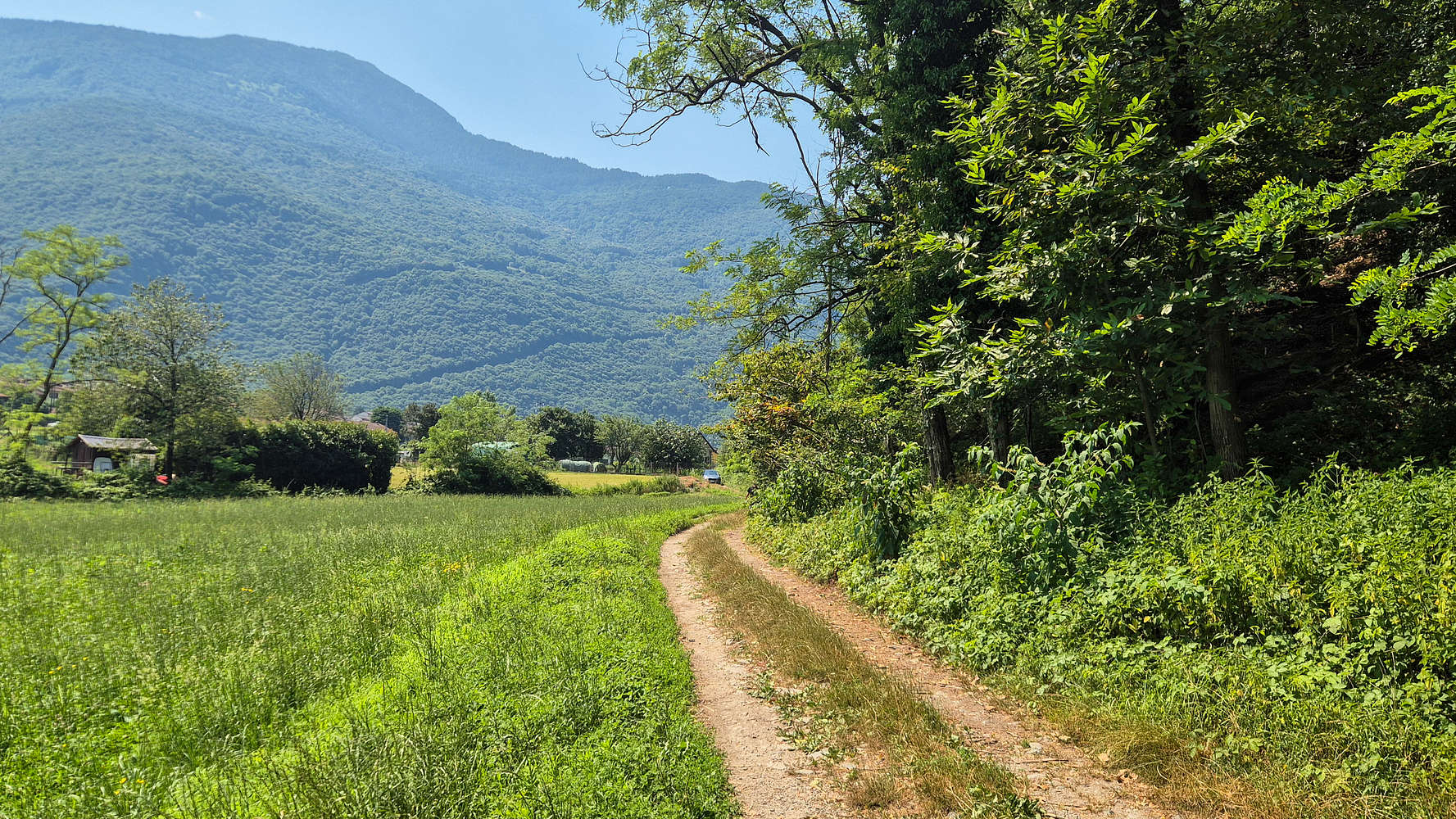
The trailhead at Montecchio Sud 334m.
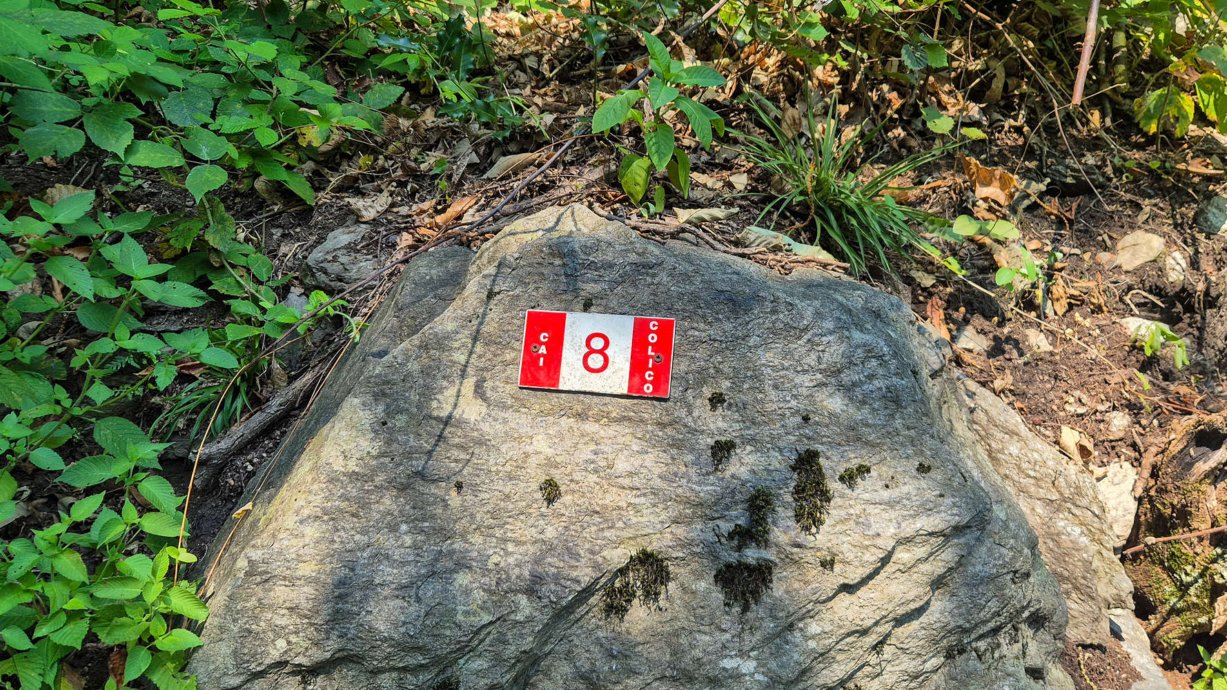
The Trail 8 CAI Colico markings Montecchio Sud 334m.
We arrived at the Montecchio Sud (334m) trailhead of Trail 8 marked by CAI Colico at around noon having driven from Sondrio to Campo, visited Ponte nel Cielo (Tibetan bridge) and were looking for an easy peak with aesthetic value. Terry was feeling like hiking less than 150m vertical gain, and so Montecchio Sud (334m) was a clear choice. The temperature and humidity at Colico on June 30th were unforgiving but we still wanted to give it a shot.
Route
Adequately prepared to battle the heat with water, appropriate clothing, and sunscreen we left a phone number note on the car and headed for our quick operation on Montecchio Sud (334m). At the first trailhead (before the dirt road) a plastic card reads: “Hikers should make sure to stay on the marked path!”, a curious sight on such a small peak.
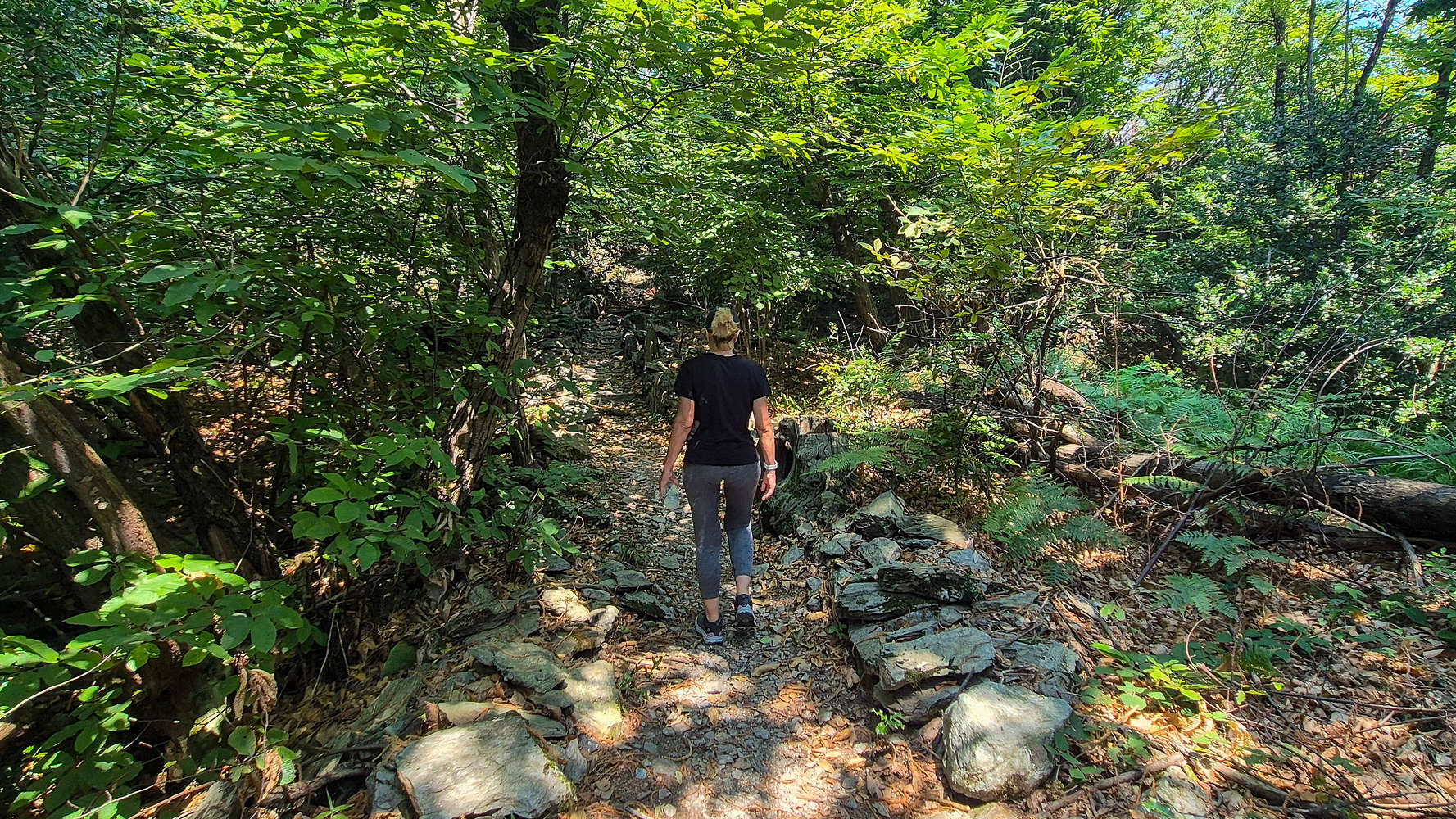
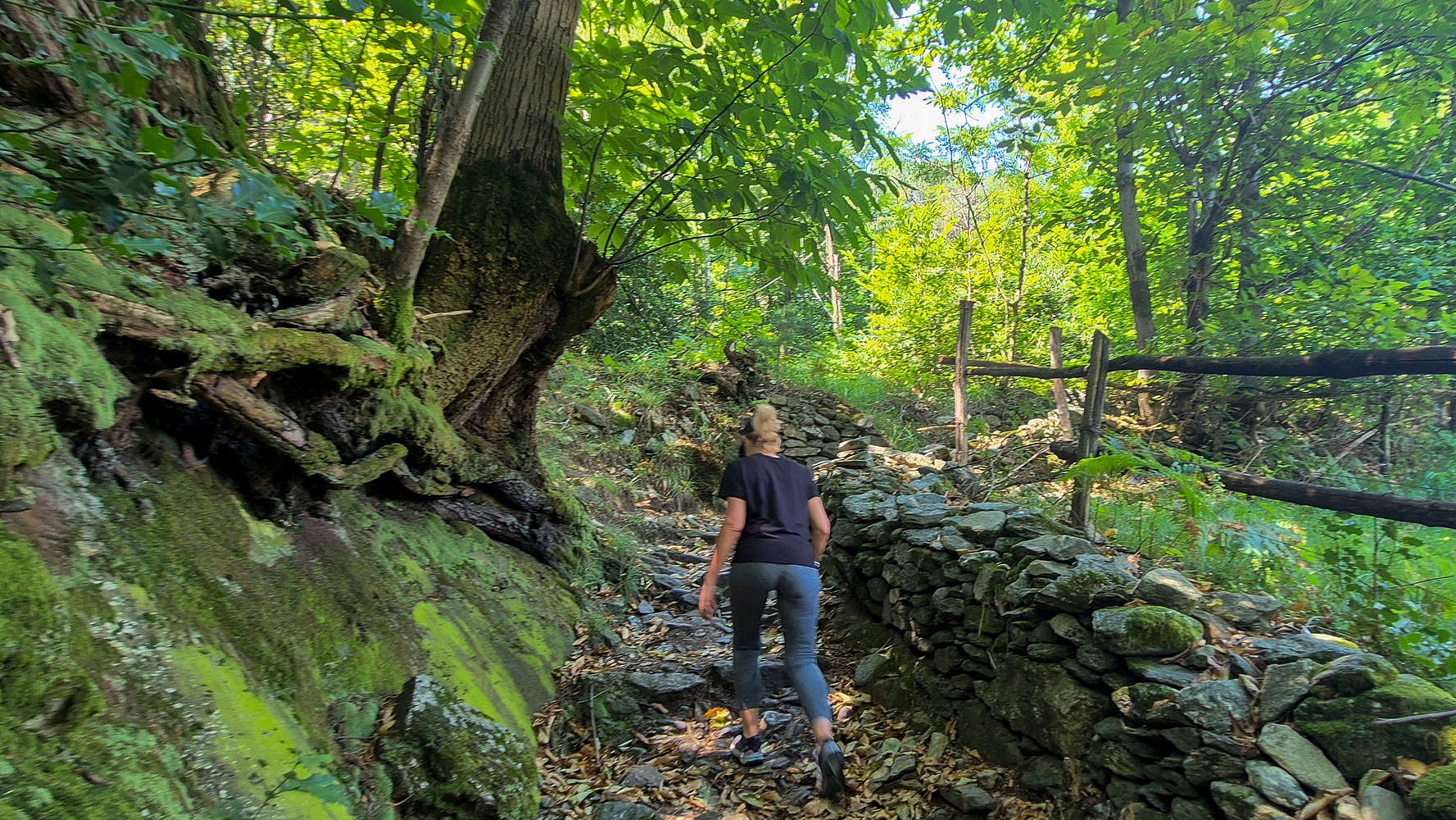
Starting from the edge of the forest we ascended the wide track with a cobble wall on both sides on somewhat steep intermittent slabs and trail but nothing too serious. The trail ascends steeply on the beginning only to level off on a plateau whereas the trail is very well made with a full set of wooden bars on the field side (E-NE). Throughout this section the trail does not pose any technical challenge and even with the hot conditions we were able to enjoy the ascent. The views in this section are limited but the lush forest of the peak itself does not disappoint. After reaching the end of the plateau, the summit trail breaks off to the left under the designation 8/A.
The cobbled track on Montecchio Sud 334m.
Terry hiking the lower part of the forest trail #8.
Here another steep ascent is required although much shorter. At this point we were quite winded by the heat and effort so we were very happy to reach the lower outcrop, a lovely ledge among the summit boulders which offered some exposure to the minimal wind. After drying our t-shirts a bit we continued upwards on the final ascent up the obvious rock, then across the summit plateau and up the summit outcrop. We took some time to enjoy our final highpoint view and take photos before heading back down.
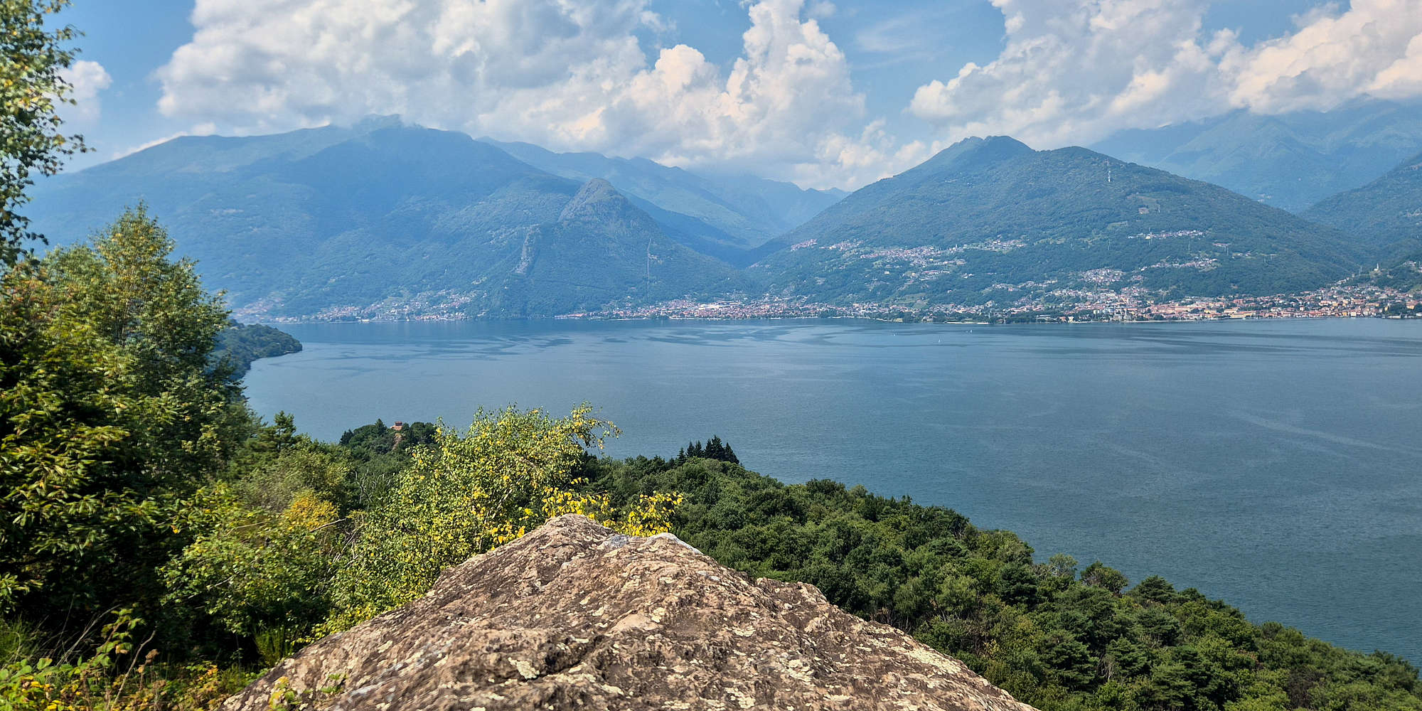
View of Lago di Como from Montecchio Sud 334m.
On the return I wondered both about the curious cross on the summit, in Terry’s words “looking like a stop sign” but also about the Artillery Positioning Pilar on the summit plateau — according to the information plaque, brought there from Montecchio Nord (280m) [P-70]. Surely however, the reason for the trail warning was quite obvious, at least if 8/A was anything to go by, since the peak is exceptionally steep to the N. On the way down we did not feel like visiting the lake on the N foot, accessible from the plateau intersection, and returned straight to the car.
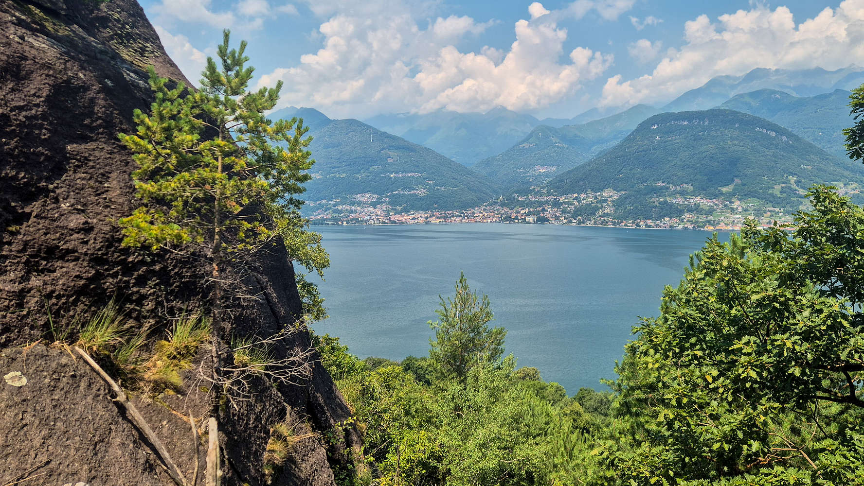
Domaso as seen from the lower outcrop.
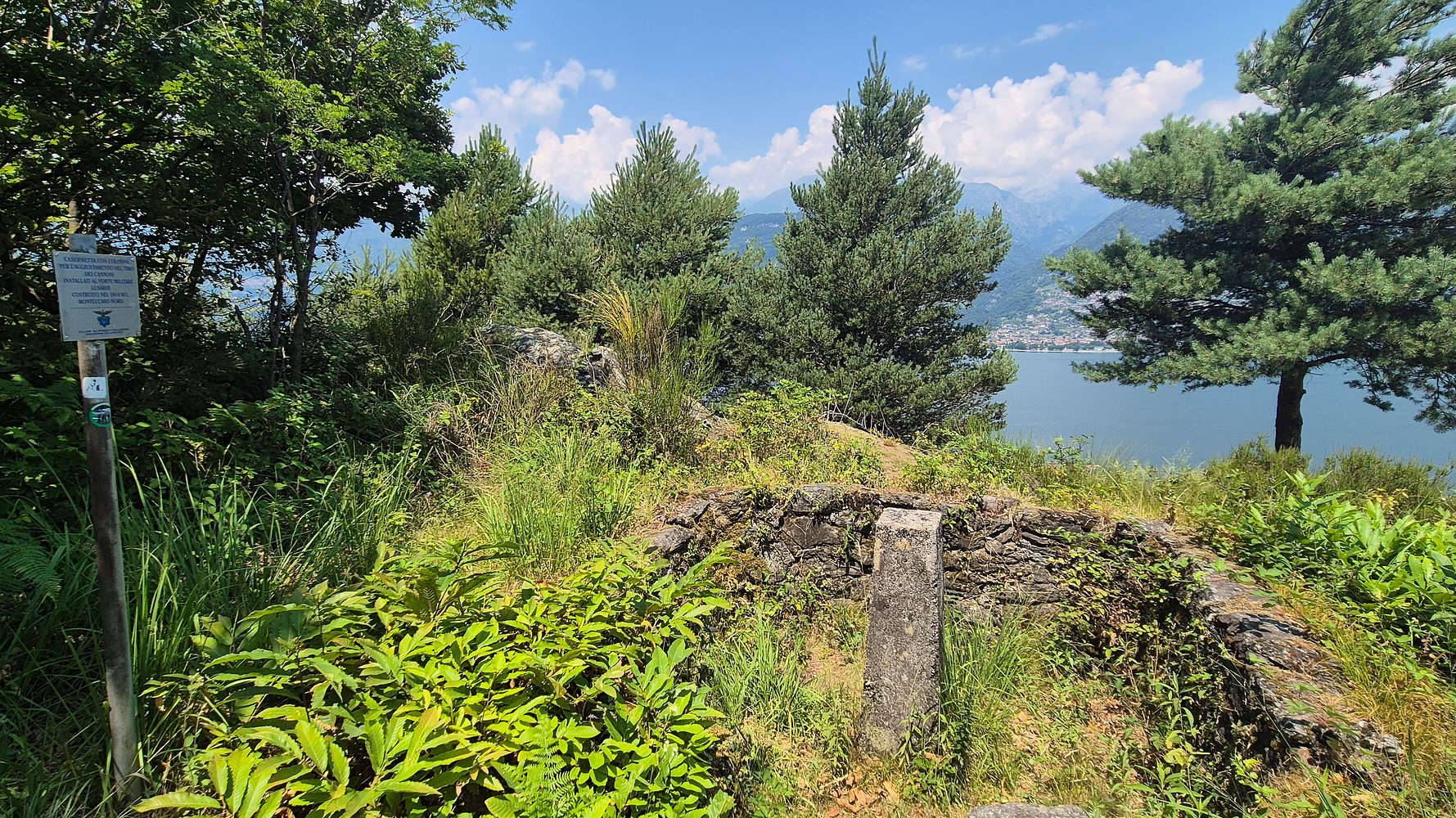
The artillery positioning pilar on the summit plateau.
After a very stressful 30 minutes reversing 100m down the dirt road we drove to Colico beach to enjoy a swim and a pizza before flying home.
Interactive Map
Logistics
This summit was part of the June 2025 Como & Valtellina trip with Terry. We drove in from Campo in Valtellina after visiting Ponte nel Cielo taking us about 1 hour to the trailhead. After the ascent we went for a swim at the nearby Colico beach.
📰 Read more about our trip logistics on the relevant Trip Report: Como & Valtellina.
Nearby Peaks
Here are some peaks nearby Montecchio Sud (334m) which were either seen during the hike or are otherwise mentioned or nearby.
Montecchio di Adda (334m) [P-109]
Monte Legnone (2,609m) [P-624]