Triantafyllia (2,109m) [P-588]
Summited On: October 3, 2026
Region: Lake Doxa, Pheneus, Corinth, Peloponnese, Greece.
Rating: ★★★☆☆
Partners: Panos Kostopoulos Kyrimis, Manolis Pantazis, Iasonas Mourounas
Overview
Triantafyllia (2,109m) [P-588] [”Τριανταφυλλιά”] is the highest peak of the Penteleia Ori (”Πεντέλεια Όρη”) massif located above the Pheneus (”Φενεός”) polje along the border of Corinthia (”Κορινθία”) and Achaea (”Αχαία”) prefectures of the Peloponnese. Although, it is usually considered a continuation of Chelmos (2,355m), it features a distinct cultural, historical, and even geological identity. The Karstic landscape, with the Polje at its center, offers a curiosity since bygone times, as it was well known that beneath its surface huge caverns host flowing water[1]. Today, it is a little different, with the Doxa Lake (”Λίμνη Δόξα”) reservoir enabling both flood control and year-round irrigation, and supporting the large-scale cultivation of legumes on the polje. The mountain and polje’s are part of the Chelmos - Vouraikos UNESCO Geopark.
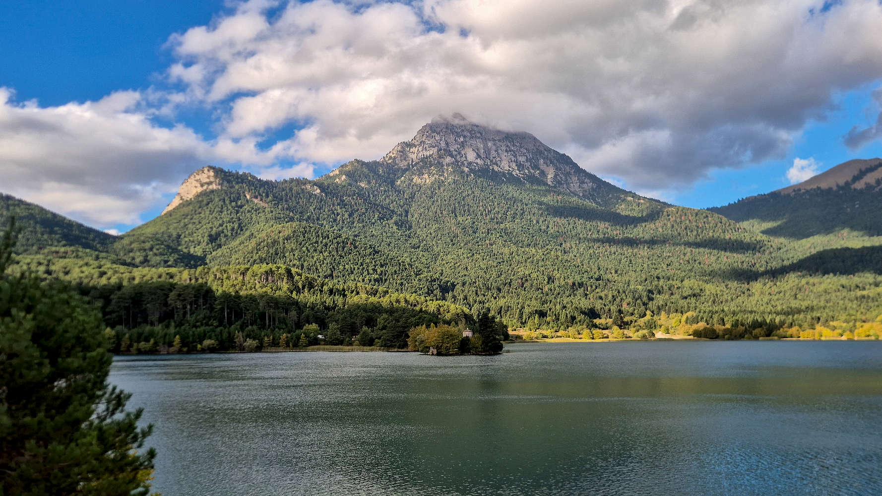
Penteleia Ori (2,109m) with Lake Doxa.
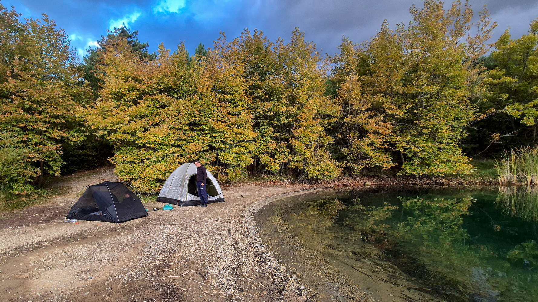
Our autumnal campsite along Lake Doxa.
The polje of Pheneus is one of the most storied areas of ancient Greece. According to legend, Demeter, the goddess of harvest, was once welcomed into the wealthy city and in turn offered the Pheneates “all sorts of pulses but not beans”[2]. When her daughter was abducted by Hades, the residents showed her the sinkhole from which she could descend to the underworld to rescue her [3]. Another legendary resident of Pheneus was Heracles[4], the heroic demi-god, who in a bid to save the city from the sporadic flooding[5] which plagued it, dug long channels to divert the inland rivers into sinkholes[6]. Penteleia Ori were also known as a habitat for the mysterious Moly herb, described as “a round, dark root, of the size of an onion and with the leaves of a squill”[7] and which was used by Odysseus to protect himself from Circe’s magic.
“love’s passion, swallowing you
in a whirlpool, carried you into the steep abyss,
as they say the soil of Pheneus near Cyllene
dried up, when the thick swamp was drained”
— Catullus, Poems § 68b
The small valley at the NW part of Pheneus has been long known as “Doxa(s)”. It is thought that two settlements, as betrayed by 1700 Venetian census records[8], developed alongside the Monastery of St. George which was established around 1350. The toponym is thought to refer to the Albanian chieftain “Doxas” (”Δόξας”) who defeated Mohammed II and captured the fortress of Tarsos (”Ταρσός”) in 1458[9]. In later years it was perhaps abandoned due to flooding as in 1693 the monastery relocated to higher ground. In 1806 Col. W. Leake highlights the use of the valley for vineyards[10].
Route
Having visited the precarious Ntourntouvana North (2,090m) in Spring 2025, and skipping the main summit at the time it was warranted that I would return; with it being a 2,000m-mountain after all. However, with the route from Hunter’s Col. (1.500m) being the same, and having done less hiking down below, it seemed questionable whether Terry would care to make a longer ascent. Thus, when in early October my friend Panos suggested we go to Gkiona (2,512m), I was secretly glad that adverse weather drove us instead to Lago di Doxa. A chance meeting the night before with our friend Manolis convinced him to join us, and Panos invited his friend Jason, whom we had not yet met. On Saturday morning we all pilled into the car for our journey South.
A series of delays brought us to Lake Doxa, and the trailhead FSR (935m) at the late hour of 13:30, and we quickly set off seeing as we had to gain well over 1,000m to our objective. The weather was undoubtably brisk but still sunny and our spirits were high as hiked through the forest. The track is well-marked and popular, making navigation easy (T2). We paced the lowest forested section well, and in just 30 mins had reached a meadow, brimming with Firs (Abies cephalonica). We took a few minutes to hydrate and admired the North Face of Ntourntouvana N (2,090m), rising a sheer 950m above us.
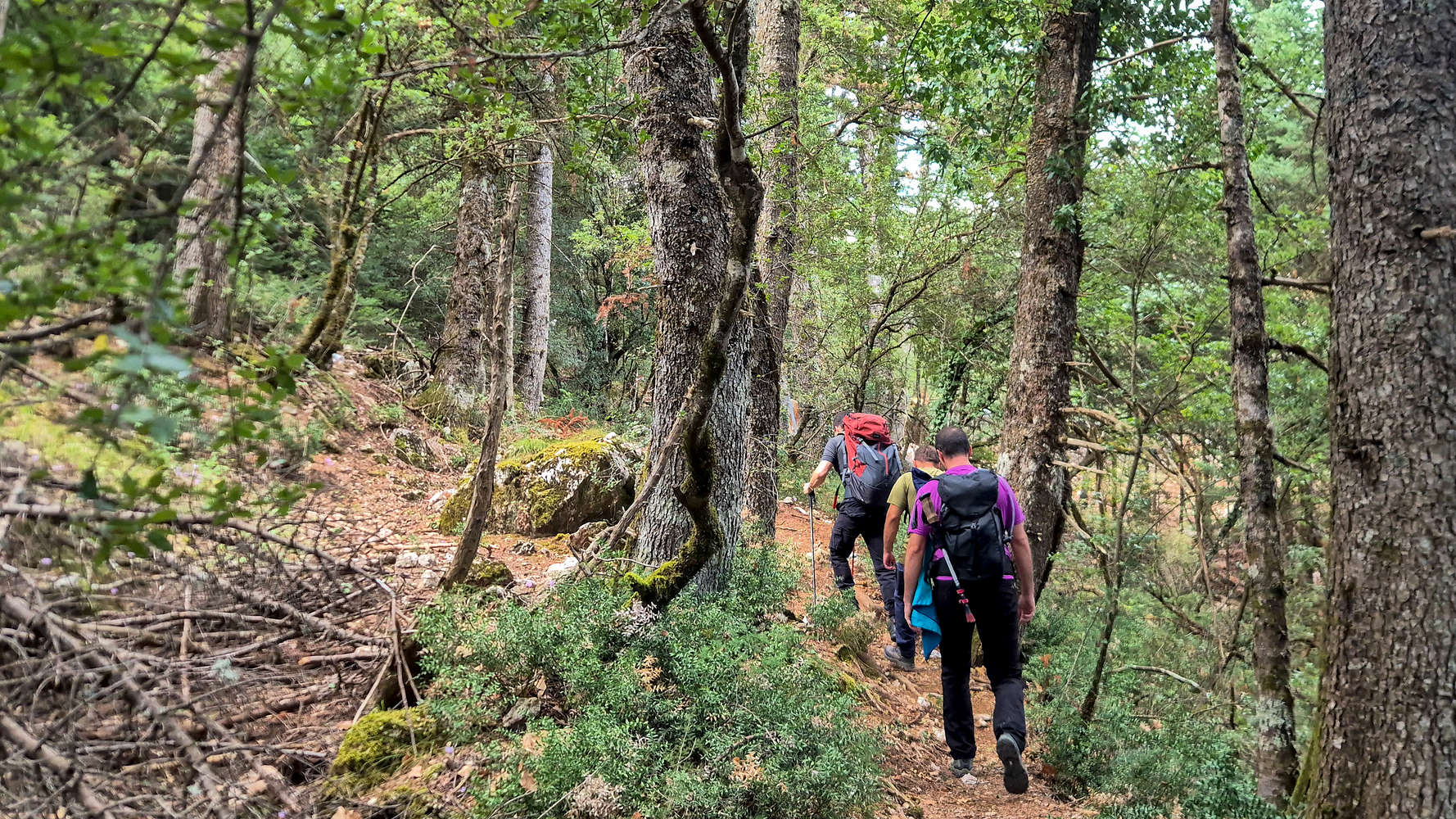
Hiking through the lush lower forest.
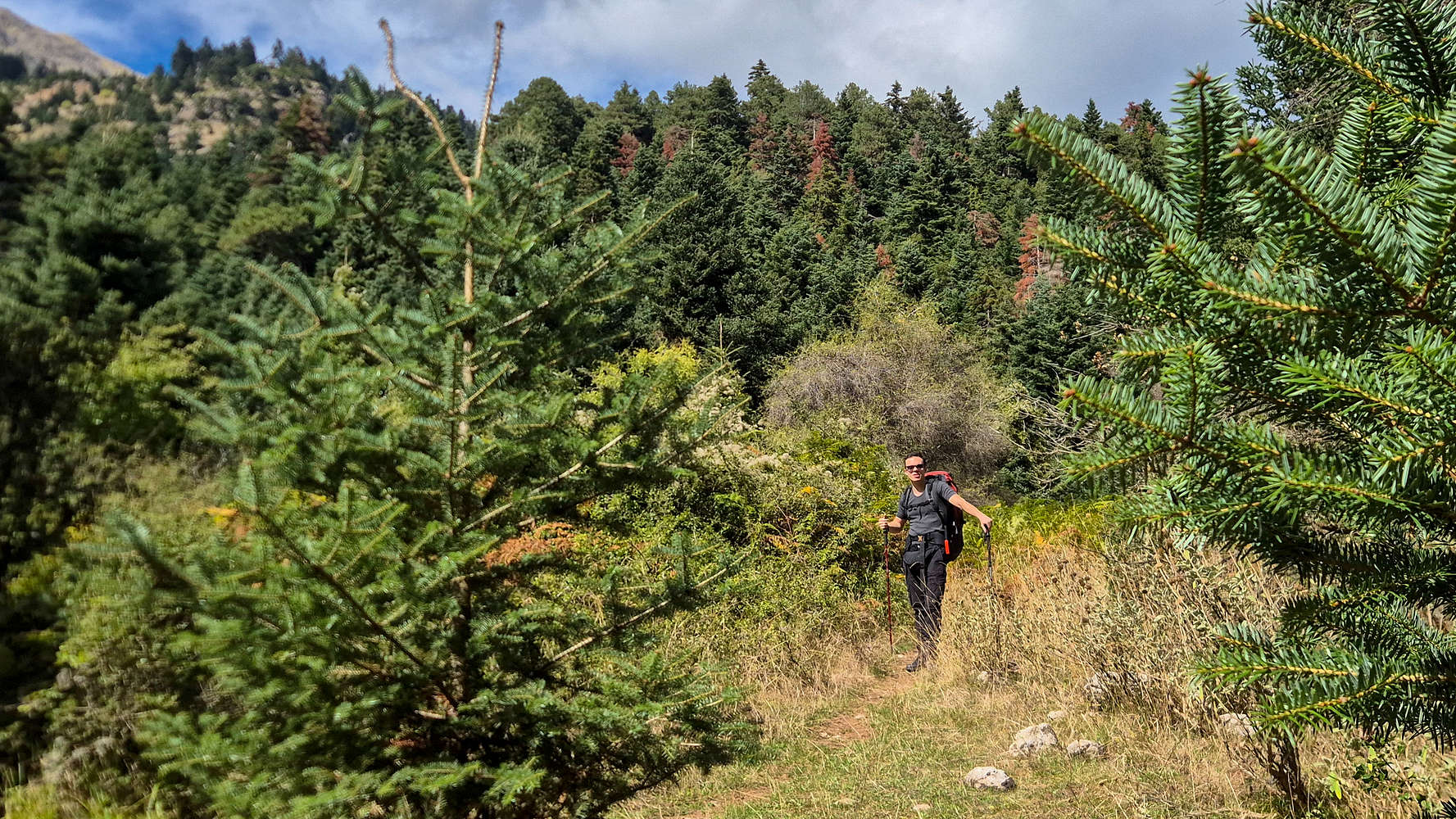
Panos among the young Firs.
Here the route begins traversing towards the Ntourntouvana massif itself, doing so over about 1.5Km, and as we connected through FSRs and good trails (T2), the towering crag was hard to dismiss. Manolis not having realized where we were headed, was quite surprised to hear about our destination. The trail continues through increasingly sparse forest, and at one point traverses a system of ledges (T2+) which offer one of the best views of Lake Doxa and Kyllini (2,374m). Having spent some time to take photos, but also to fiddle around with Manolis’ Insta360 camera, I picked up the pace leading into Hunter’s Col. (1,525m) to the dismay of the rest of the group. Nonetheless, the steeper ground which leads to the col was gained rapidly, and all told, we stepped onto the col. after just 1:15 hours, having gained 590m of elevation.
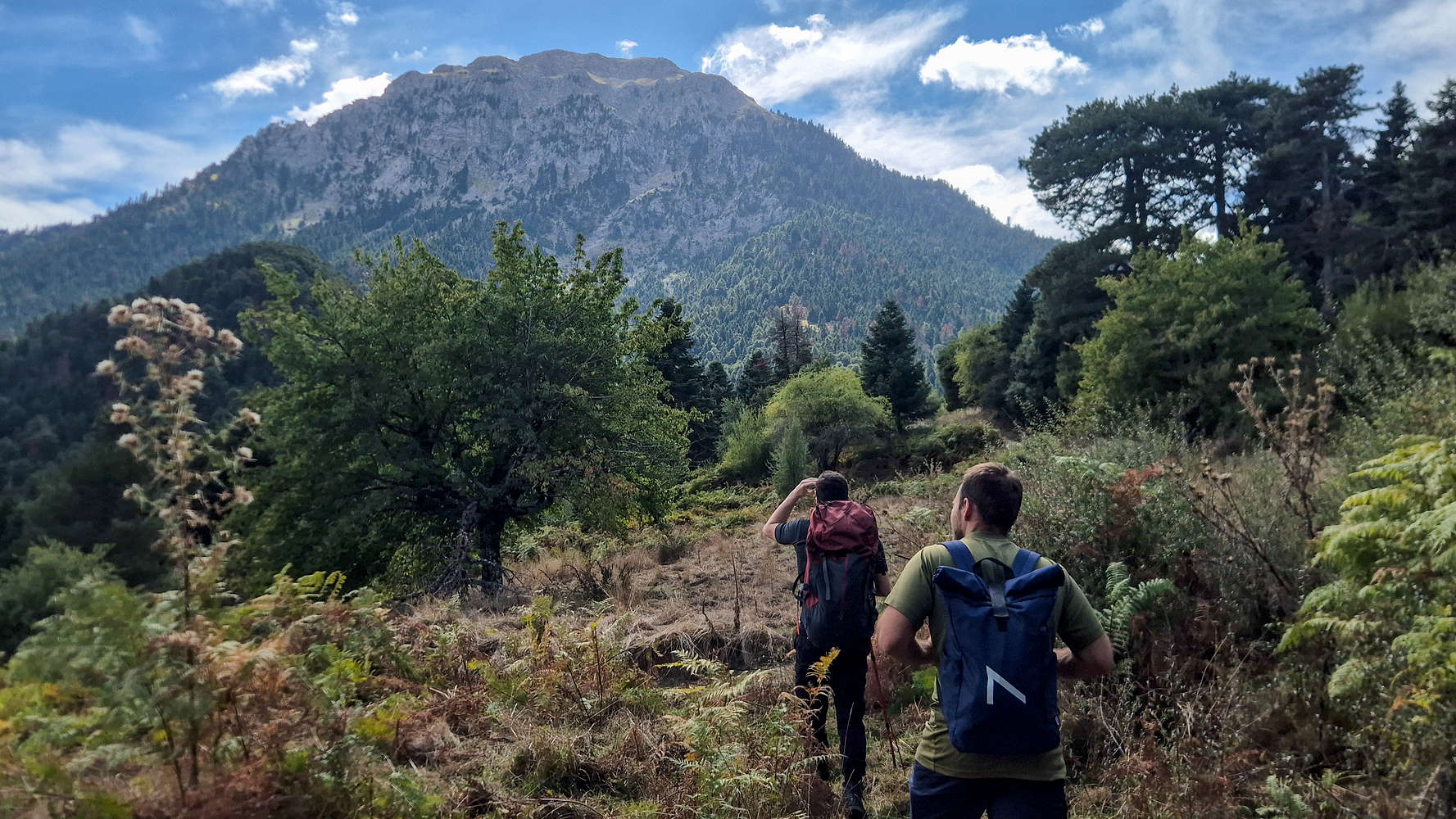
We’ll be up there much sooner than we thought.
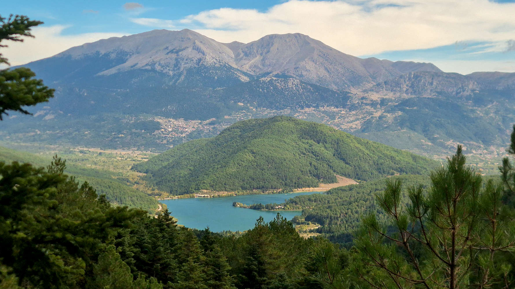
Kyllini (Zireia) (2,374m) with Lake Doxa from the ledges.
The strong winds gave us little respite, and we took shelter along the trees by the Triantafyllia trailhead, where we had a food-break. To my surprise, the Bake Rolls(TM) I often bring with me proved a hit, on account of their salt. With our electrolytes in, and our layers on, we continued along the sparse sub-Alpine forest and towards the couloir which leads to the summit ridge (T2). Once again we quickly dispatched the initial low angle sections (T2-), crossed the characteristic scree traverse, and admired the views of the rugged South Face of Chelmos (2,355m) as we began ascending (T2). After just 25 minutes we reached the cave at the start of the couloir (1,750m).
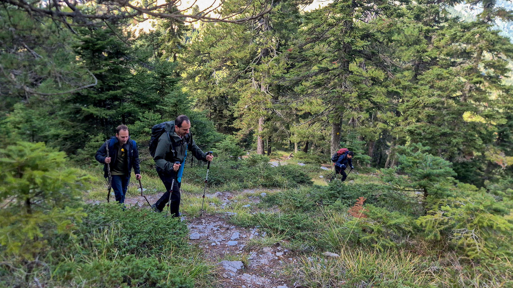
Easy going on good switchbacks.
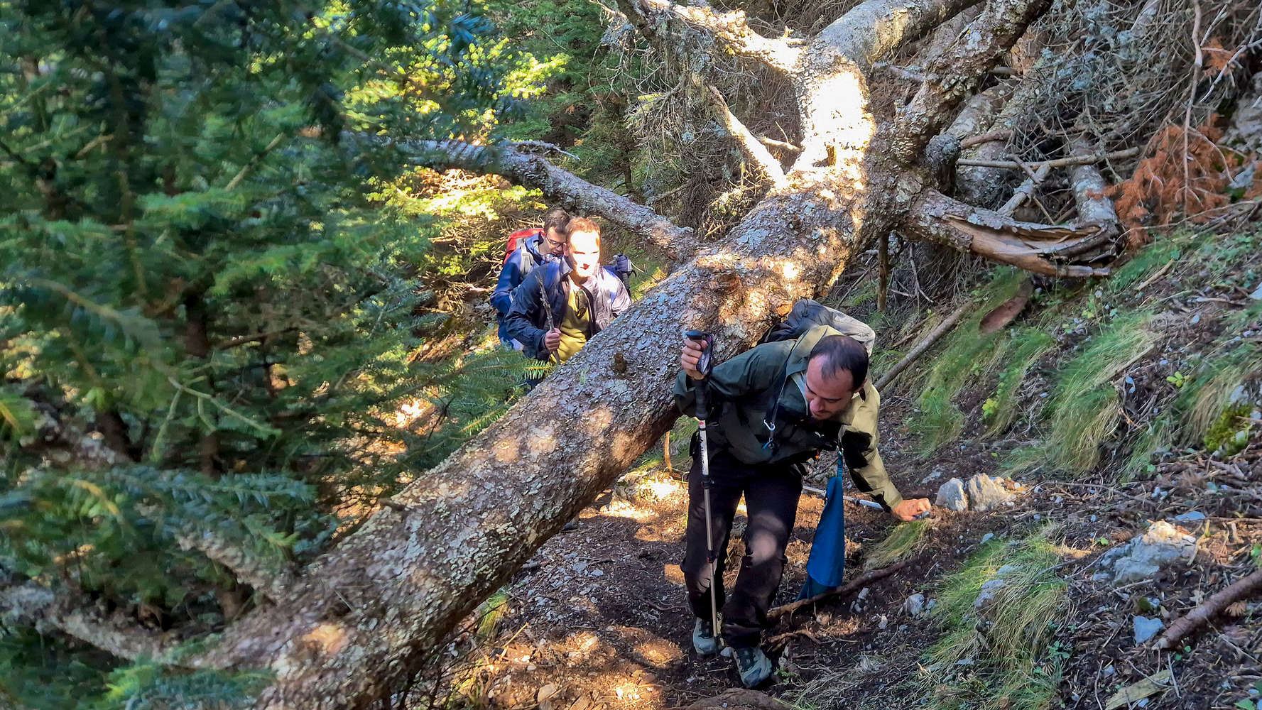
Manolis navigates under a fallen tree.
A longer than expected break due to me forming heel blisters set us back, but everyone seemed excited to break into the alpine, and the steep switchbacks along the couloir (T2) posed no problem. In no time we topped out above the foliage and begun the series of left (East) traverses that lead to the “crossroads” along the ridge. The “crux slab” proposed on the 2025 ascent was much easier in dry conditions, and after 1 hour from the Col., we followed the unmarked right exit towards Triantafyllia (2,109m). The start of the long ridge to the summit proper offers some of the most engaging and airy terrain, with a small rocky crest being a real highlight (T2+). The views towards the bulging summit of Ntourntouvana N (2,090m) are not bad either.
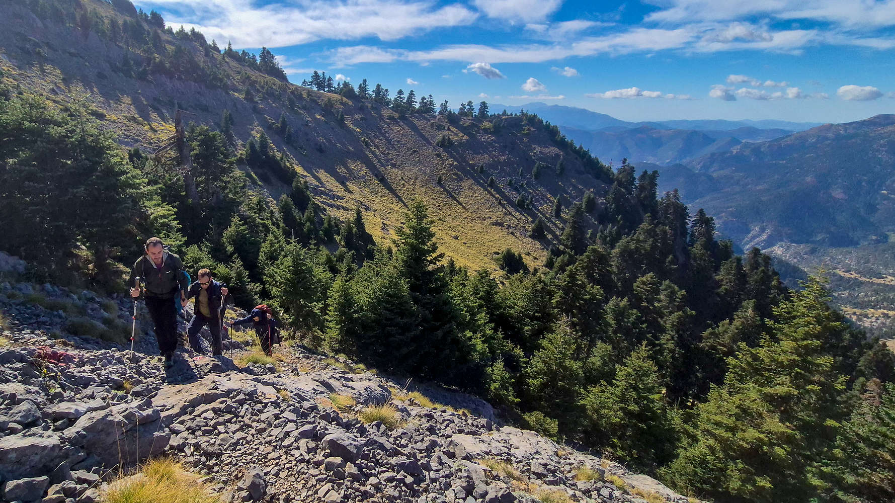
Breaking into the Alpine inside the North Bowl.
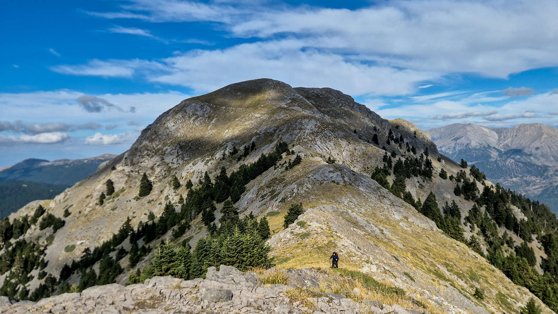
Ntourntouvana N (2,090m) from the small crest.
As the surprisingly airy first section of the ridge is gained, the ridge increases in width as it turns left (South), and before continuing is protected by a short rocky step. Seeing as we had not had a break in over an hour, we took an impromptu one right there. However, we were a little more preoccupied with the boulders, one of which Panos climbed (3 Fb), and one on which we both failed (6 Fb), and did not properly refuel, seeing as we were close to the summit anyway.
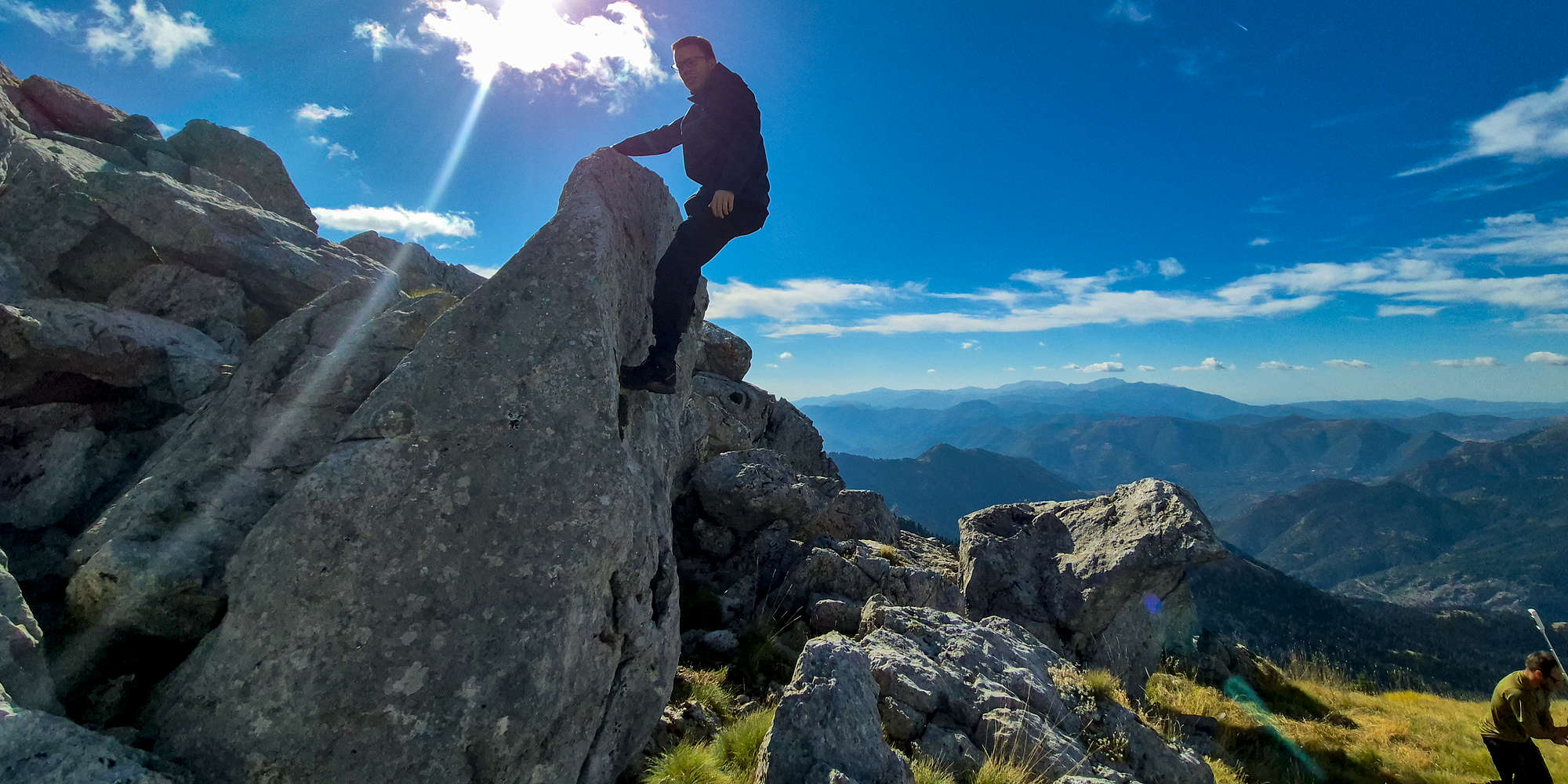
Panos atop his boulder climb approx. 3 Fb, at 2,005m a.sl.
We got moving before we had time to get injured, and easily surpassing the step (T2) we were welcomed into a world of open country ridge walking. The clear blue skies, and the Alpine gold of the grass offered a few minutes of magical escapism, while the aerial views of the polje below reminded us how far we truly were; and better yet, we had not seen a soul all day!
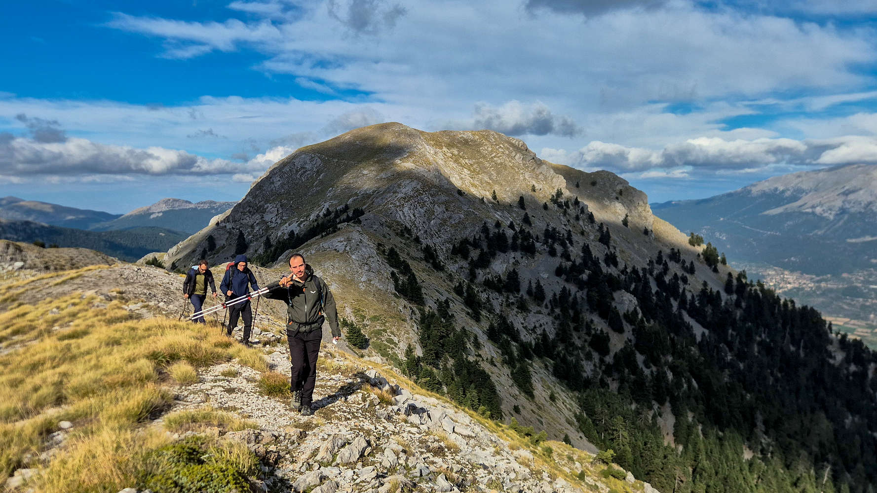
Starting on the final 100m of gain.
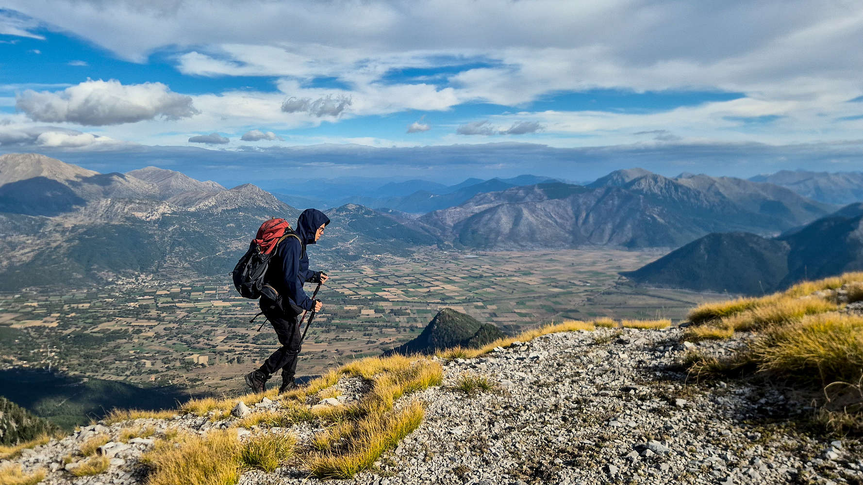
Panos, some 1,400m above Pheneus polje.
After just 3:15 hours in total, and 1:30 hours from the Col., we topped out onto the summit, marked with a few stones along the ridge. Manolis stayed a few minutes behind, taking a video ad for his new app GoWild, and joined by Panos & Jason, I walked to the Trig. point a few hundred meters South; doing so disturbed the two Common Ravens (Corvus corax) which were sitting upon it. We returned to the summit proper for our break, and made good use of whatever we had open, including the Baked Rolls. With the time nearing 17:00, and passing clouds gathering overhead, Manolis prompted us to get moving, and in doing so skip an ascent to Ntourntouvana N (2,090m); having spotted a herd of sheep on it earlier I needed little convincing.
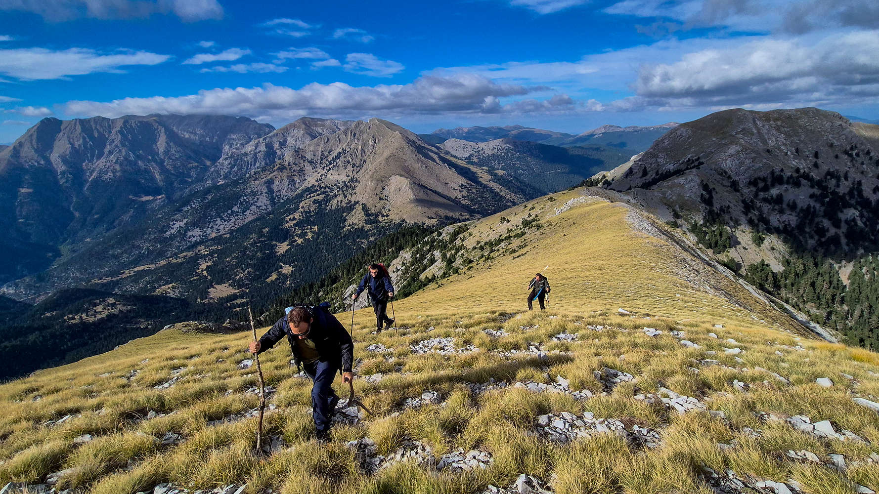
Jason leads with his wooden sticks.
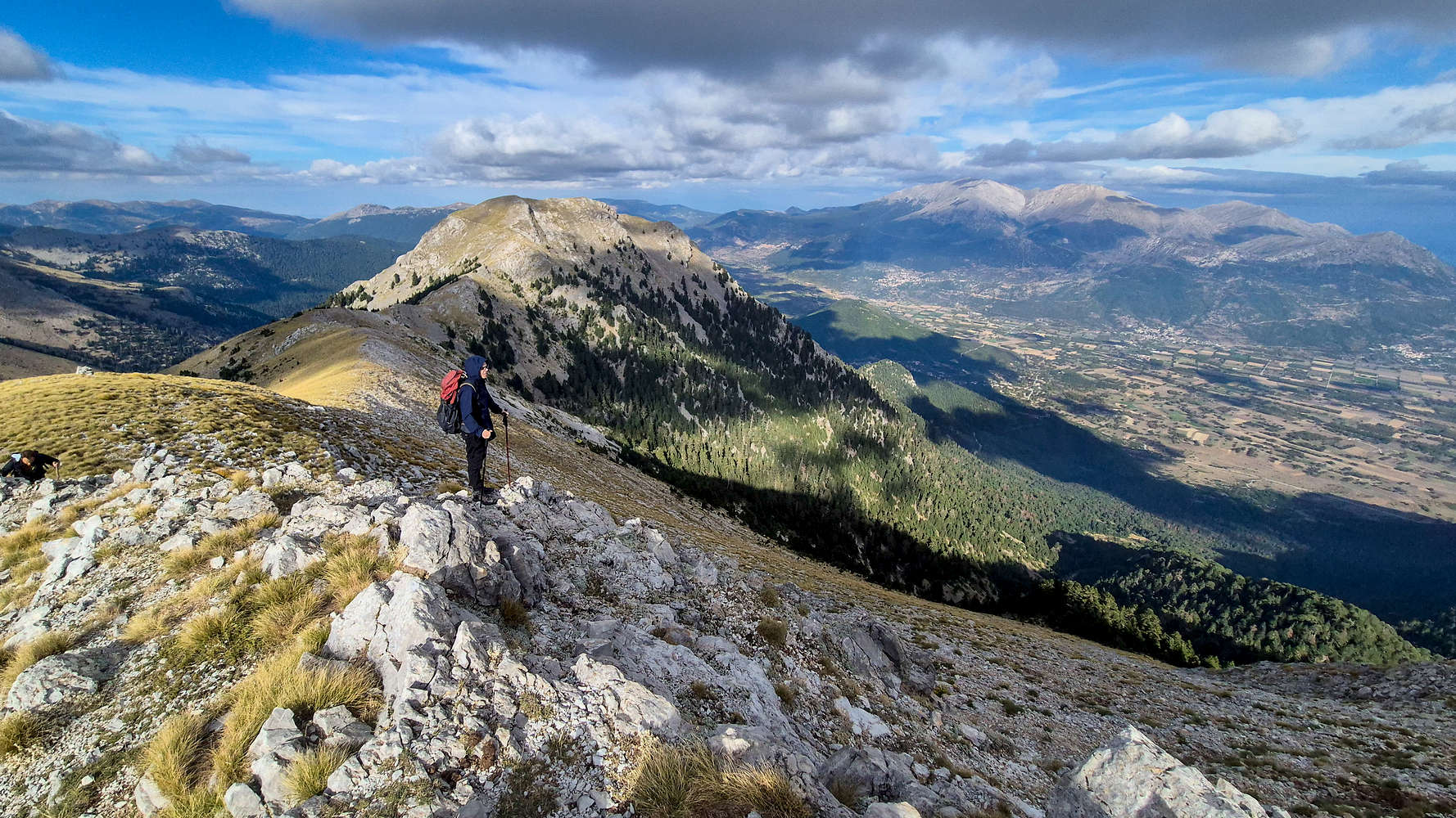
Panos taking in the views from the summit.
We set back down under the dying light, and did so eventfully, as Manolis simply had left his poles earlier along the ridge — to shoot that ad. Luckily Panos found them, and we were rapid in dropping back down to the couloir. The worsening terrain and steeper incline prompted Panos & Jason to reduce their pace, and talk of hiking in the dark was of little effect. Nonetheless, Manolis and I did our best to maintain a brisk pace, and we skipped any breaks as we descended past Hunter’s Col. at 18:45. Our descent to the Col. took 1:15 hours.
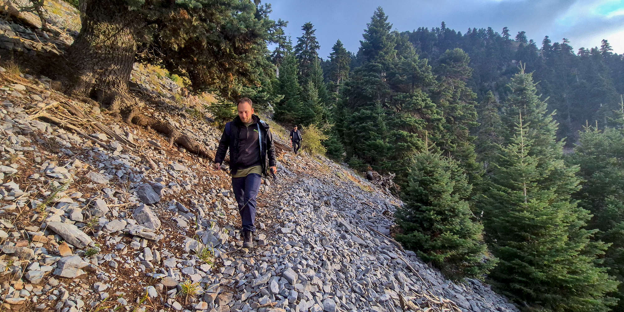
Jason traverses the scree slope.
As we made our way down into the forest, its eastern orientation meaning our adventure was to quickly take a turn for the colder, and darker. Descending in the shade we tried to keep our spirits high, and Panos’ digs towards my obscene pace certainly did the trick. Soon the sun withdrew, painting the peaks of Kyllini (2,374m) in a deep orange and offering us one final reward for our troubles, for now, as the alpenglow slowly diminished our headlamps would have to come out. We did so near the Fir meadow we had so joyfully disturbed earlier, even losing our way to its exit.
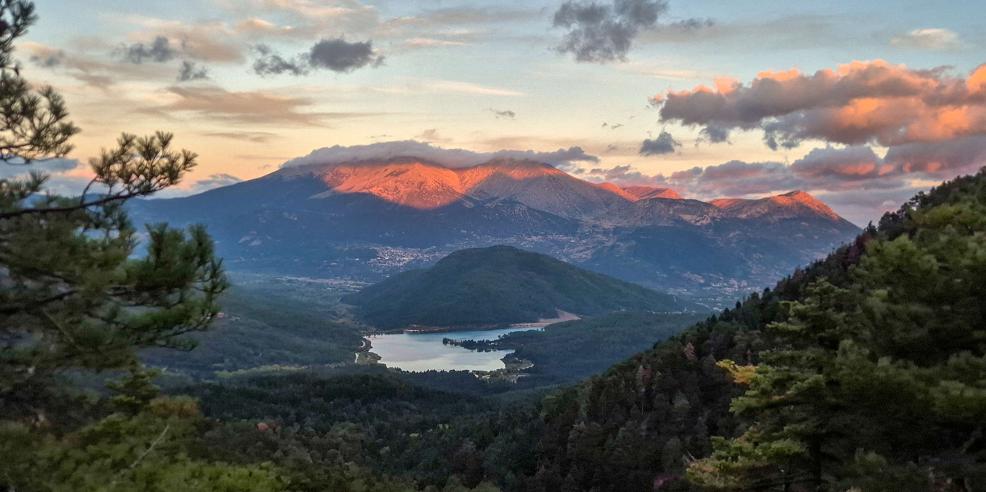
Kyllini (2,374m) under a fiery sunset, Lake Doxa in the foreground.
We entered the lower forest at 19:30, the otherwise lush and dense forest presented a navigational nightmare, curtesy of the Greek trail-marking standard. However, in utter silence I led along Manolis as the first pair down the dark trail, for 30 long minutes. The track, even at its trodden state was difficult to follow in the dark, and multiple pauses were needed. To break up the tension as we neared the car Manolis suggested we jump scare Panos and Jason, which went down well. We reached the car just a few minutes before 20:00.
Since we had planned to camp on Lake Doxa, we drove straight to dinner, figuring that the most surefire option would be “Το Μπουκούνι” (⭐4.8, +1,000) in Gkoura (”Γκούρα”) village.
Interactive Map
Logistics
As usual this was a self-planned trip, where we drove one of our own vehicles to the trailhead (📍 Google Maps) only a few hours from Athens. Doing so late on a Saturday forced us to camp near the lake, which we had planned for anyway. We had dinner at “Το Μπουκούνι” (⭐4.8, +1,000) in Gkoura (”Γκούρα”), and the next day a bakery before going climbing at Frygani (”Φρύγανη”), and then driving back to Athens early in the afternoon.
Lake Doxa Camping
Our plan from the start was to camp near the lake after our hike, since we would most certainly return around sundown, and then we would also be able to climb at nearby Frygani (”Φρύγανη”) crag, on the way back to Athens. We set up camp well after 22:00, on account of our dinner, and did so on the NW shore — taking a lesson from our 2025 setup. We were very lucky to find the lower beach completely deserted, and doubly so when we figured out the perfect spots for our tents. With the few other campers a ways away, we spent a couple hours drinking beers and tea while chatting. We fell asleep to an incredible silence, only interrupted by a curious dog, and most of us got a long nights rest.
Our campsite proved wonderful in the morning.
Manolis and I, sharing his huge summer tent, awoke at 07:45, and were informed the others were long awake. Yet we all enjoyed the spectacular fall morning, accentuated by the colorful foliage, the still lake, and the passing clouds. We had some tea and coffee as the morning light diffused across the sky, by 09:00 we were in the car. Next stop, breakfast at Bouris Bakery (⭐4.8, +100).
Leggas Dairy Factory
Refueled with some baked goods, and informed by Ermis at Astra Hotel in Kastania (”Καστανιά”), we drove towards Leggas Dairy & Meat (⭐4.7, +100) where we wanted to buy local cheese, foremost of which Flambouritsa (”Φλαμπουρίτσα”), a spongey cheese prepared grilled. Not only did we succeed, but Panos also found Pheneus legumes to bring home, which he thought he would not find this far away. Somehow the time as past 11:00 as we finally drove the last few minutes to the crag.