Oiti (2,152m) [P-906]
Summited On: May 1, 2025
Region: Fthiotida, Central Greece, Greece.
Overview
Oiti (2,152m) [”Οίτη”] is the smallest of the 4 main “Roumeli Giants” and barely misses the P-1000 cut-off. Unlike its neighbours, it is a large and low-slung massif with exceptional natural beauty driven mainly by the smooth grades and karstic environment. Its upper Polje is one of the largest high altitude Polje’s in the country an it is closely associated with the myth of ancient Greek hero Heracles. Its natural beauty and ample forestry road access tends to attract trekkers and overlanders more than it does hikers or mountaineers, but being considered an undisputed 2,000-er it was worth making it our first trip in our May 2025 Evrytania trip. After all it is half way between Athens and Karpenissi, quite convenient!
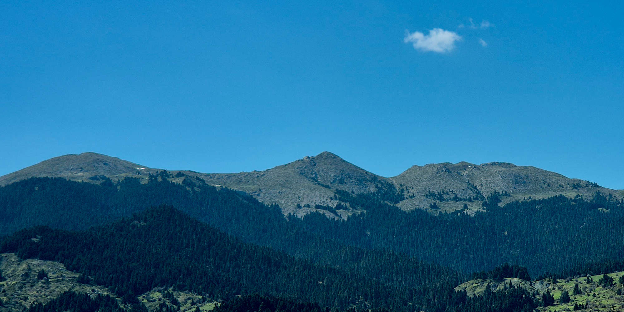
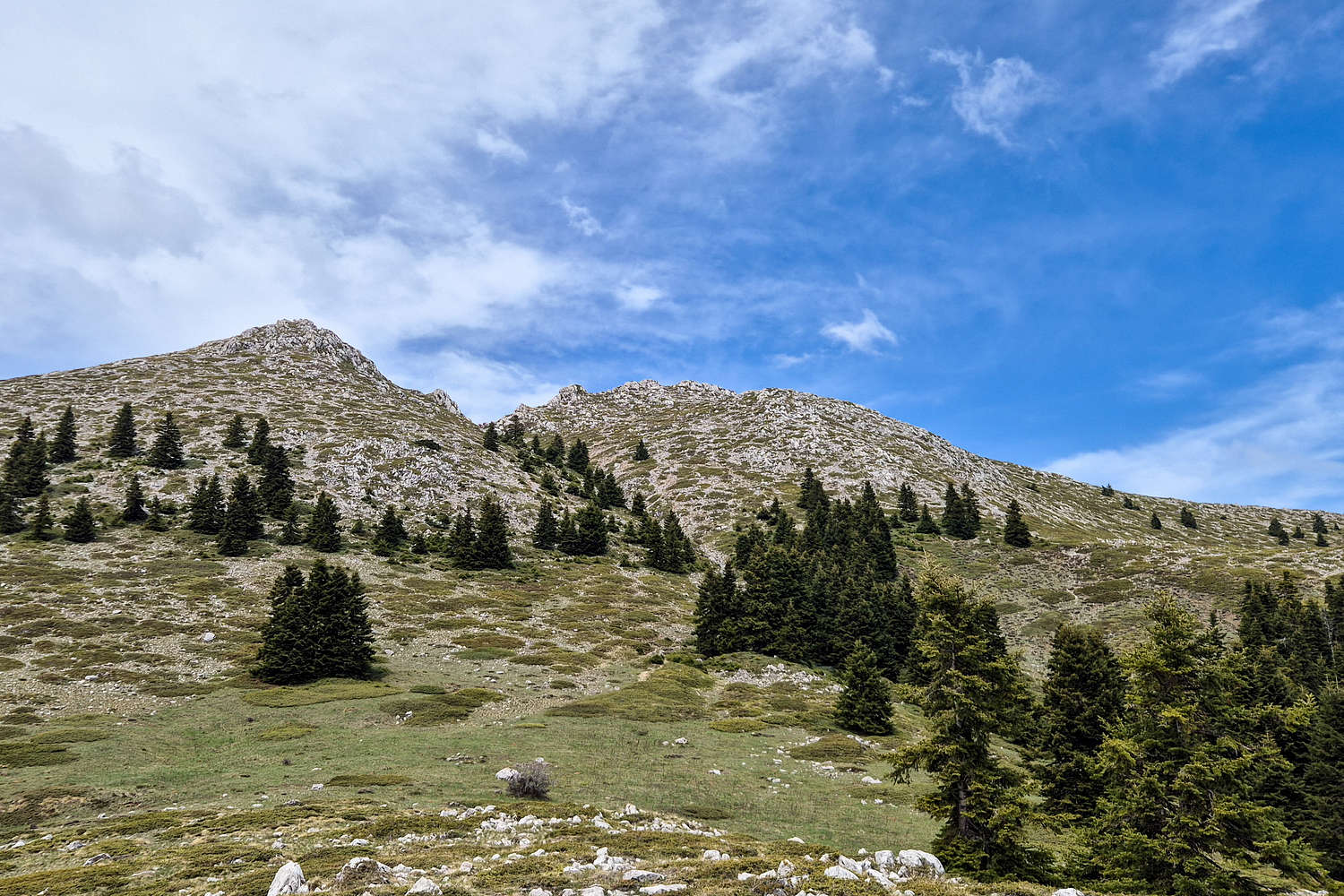
A view of Oiti (2,152m) higher peaks complex from the SE.
The Route
Leaving Athens on some ungodly hour we made our way towards Lamia with the intention of veering towards the village of Pavliani (”Πάυλιανη”) for a “short morning hike” before continuing on our way to Karpenissi for the remainder of the trip. Alas we found ourselves in Pavliani and soon were following Google Maps through some extremely rough roads just above the village, which as usual were the short & bad connections. Not a problem for our 4WD however and we quickly arrived at the Pyre of Heracles. Here some 5-6 years ago we had gotten completely lost while looking for the trailhead, and ended up bailing on an attempt, this time we wouldn’t have such issues. Before long we arrived at the Tsiprotiko Plateau, a quiet and remote depression below the South Face of Oiti (2,152m), and the start of the steepest summit trail.
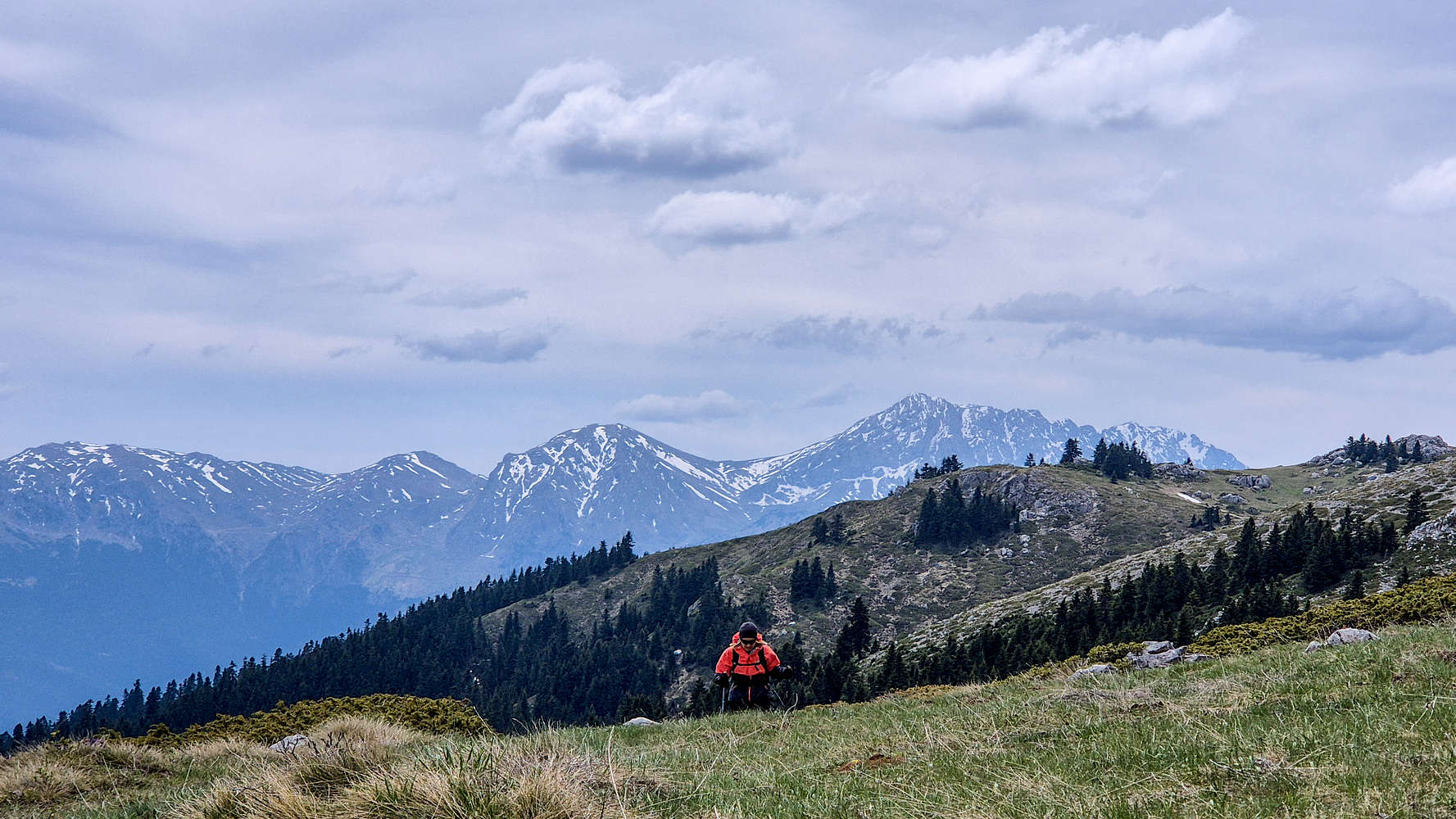
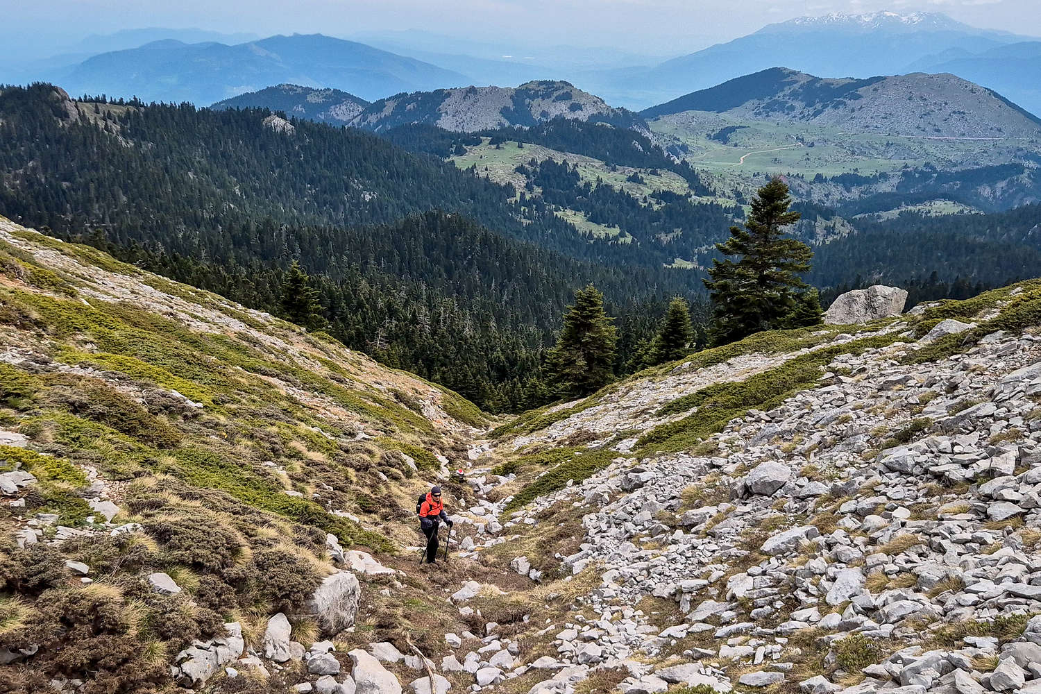
Terry making her way under the summit gully with Giona in the background.
So where is the trail?
Following a combination of OSM and obvious tracks we began a slow ascent only to realize, some 20 minutes in, that there was no trail? No marking, no track, no nothing! Naturally, we backtracked. Getting back to the car and looking around, with no internet connection and a single pre-made plan we realized the only way up would be to commit to the OSM track, and so off we went again, wasting a good 35 minutes.
Tsiprotiko Plateau Trailhead.
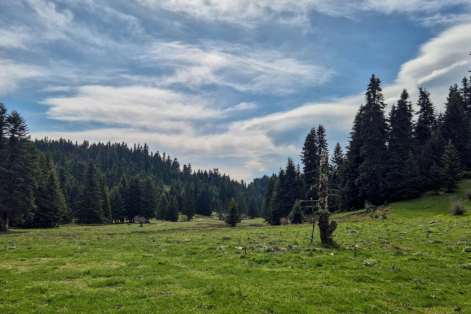
Terry enjoying some rest on the lower Oiti Forest.
Entering the forest, the first steeper sections were managed with field navigation, sticking close to the Raniorema gully (”Ρανιόρεμα”). As the initial dense forest entry is gained, the route brought us alongside the gully, which we followed on dirt ledges, remains of an old trail, or animal tracks. Either way good enough for us. Slowly but surely we moved up the gully and then around it, traversing anti-clockwise. At crica. 1,850m the track brought us facing S in order to cross the gully at the easiest point. Here the forest practically ends and the alpine begins, with the slopes of the gully turning into a terraced plateau just below the summit complex. On my map I noted this as Upper Tsiprotiko. On this large open plateau, a large inviting boulder made for an excellent break stop.
Hello Alpine
The gully as seen from the trail below.
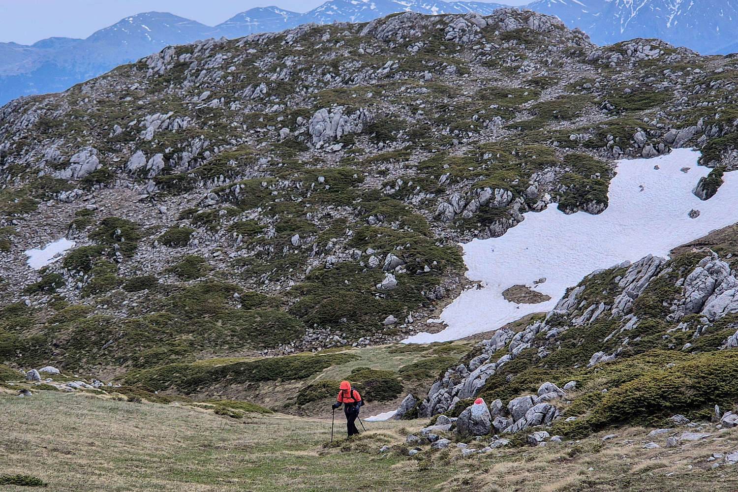
Terry at the base of the Gully. The Heracles Polje behind.
Starting off again I quickly realized I had somehow lost my sun-glasses and would have to endure the intermittent sunlight, luckily it was less bright than usual. The route continued up an obvious slope just below the summit complex, slowly heading E (right) before making a direct attempt. This steeper introductory section made sure to let us know of how rocky the mountain actually is, but was gained very quickly. Soon we met a marked intersection, clearly informing us about the actual trail, which moved a bit further East than our track. Thankfully, we would have the markings for the final section.
Terry ascending the final slope before the summit.
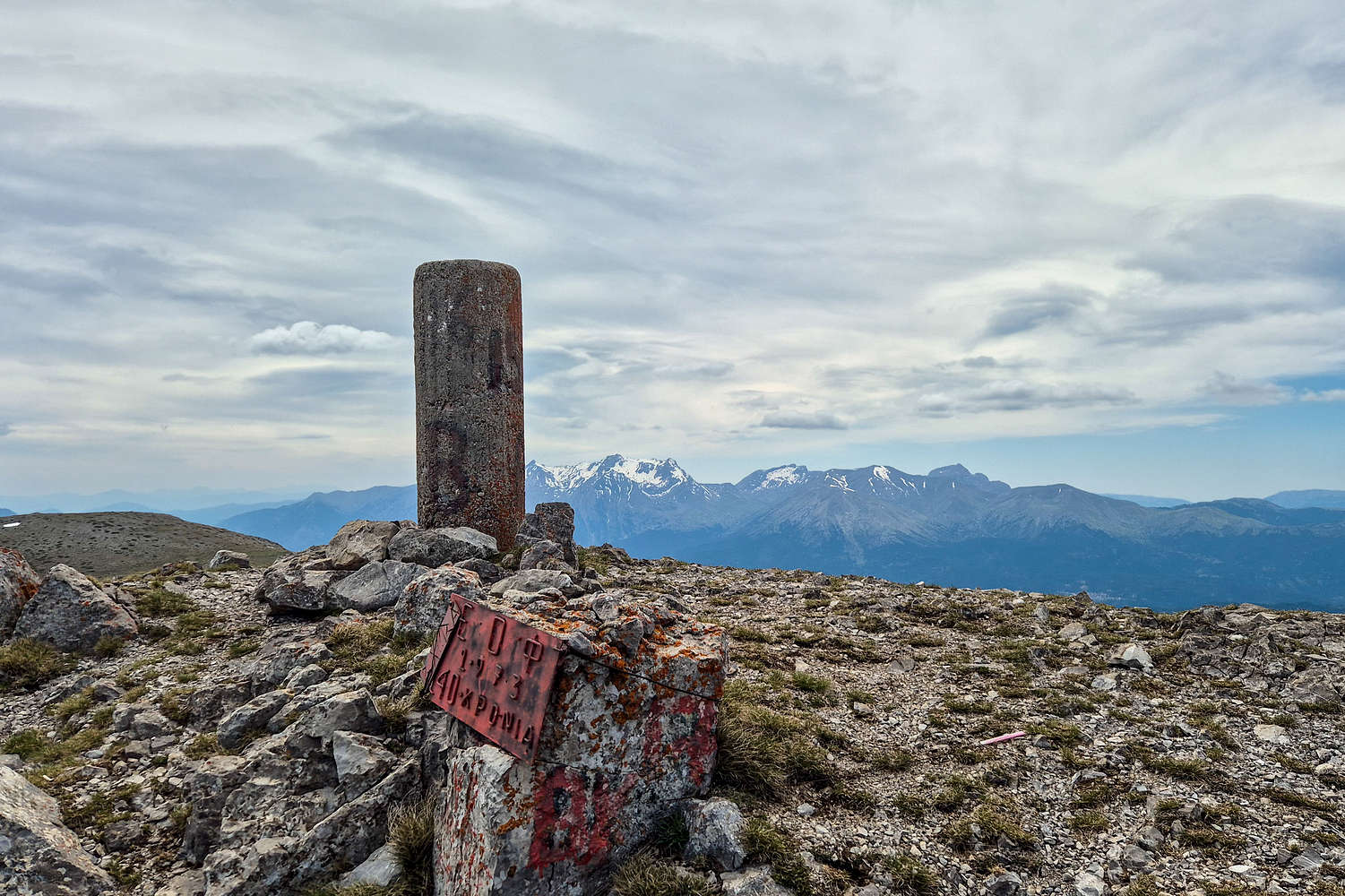
Oiti (2,152m) Trig. point with Vardoussia (2,495m) in the background.
From the Sebi Col. at which we met the trail, the route skirts the S Face in order to enter a gully which can be ascended with relative safety. The narrow but not too steep gully is dominated by large and loose boulders but is not dangerous, nor exposed, and should not be classified as a scramble. The gully tops out at a noticeable geological formation but the time to reach it may be longer than expected. This section would only be problematic in torrential rain or ice. Topping out of the gully we were surprised to realize a few more slopes separated us from the summit, including a 10m elevation loss but the change to a grassy field was very welcome. We made quick work of this and stopped 10-15m below the summit to wear wind-breakers as the howling Northern winds had finally made their appearance. A few more steps brought us to the well maintained trig. point, right as another pair of hikers summited.
The Return
Having summited later than expected with the backtracking and faux trail, we didn’t stay at the summit for long and begun our return to the car. We did not follow the marked trail, now knowing the condition of our ascent would be fine for the way down too. We reached Upper Tsiprotiko (1,850m) after 35 minutes and after another 40 minutes we had reached the car. Luckily for myself, a quick step retrace at our first stop in the forest led to me finding my sunglasses; which would be very useful for the rest of the trip.
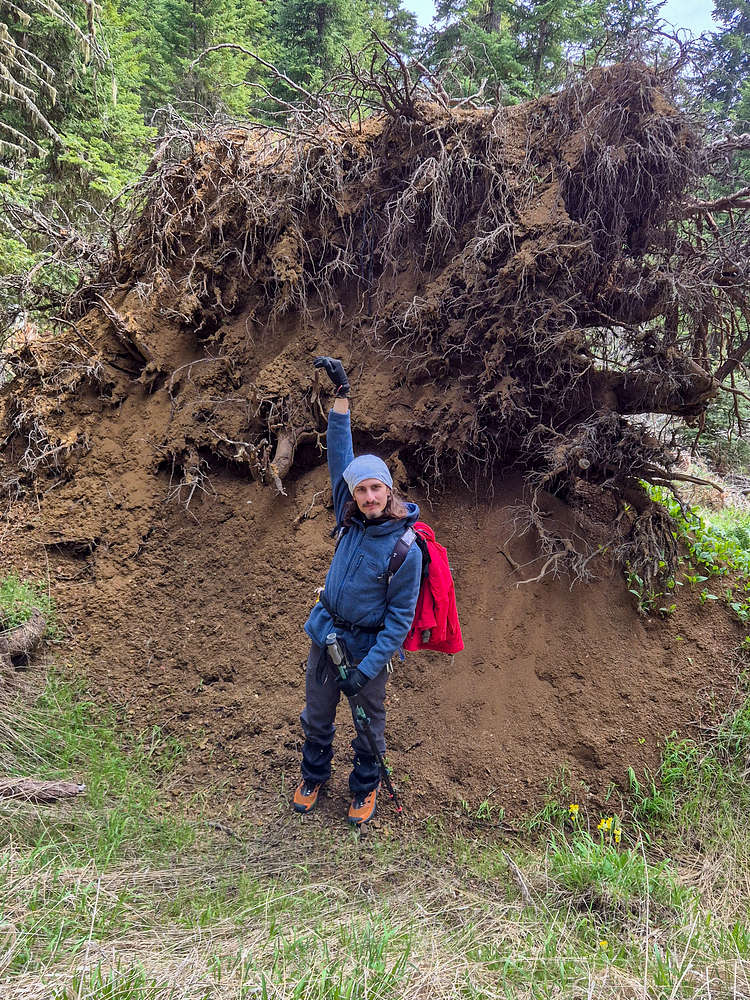
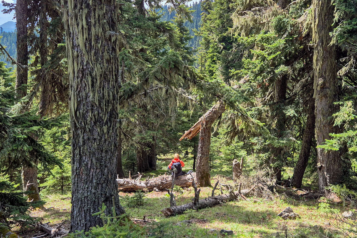
A rather large fallen tree, myself for scale!
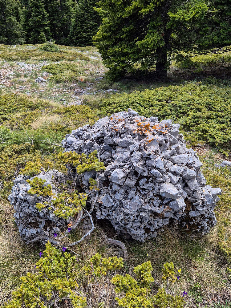
A curious Limestone conglomerate boulder.
Interactive Map
Logistics
This was the first objective of our May 2025 Evrytania Trip, during which we stayed in Megalo Chorio (”Μεγάλο Χωριό”), a village South of Karpenissi at “Levanta Guesthouse” for two nights. Our approximate iteniery was:
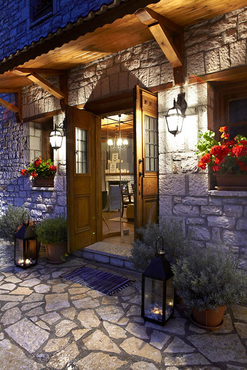
Λεβάντα Guesthouse
We spent two nights at Levanta Guesthouse (meaning Lavander) situated at the entrance of Megalo Chorio with exceptional views across the valley towards Chelidona (1,975m). The room was nicely appointed and kept in excellent condition, the balcony was similarly lovely and with the aforementioned great view. A solid breakfast was included and the location had convenient parking very close by. Great experience, exceptional value for money and friendly staff.
Complimentary maps available at reception!
Nearby Peaks
Some notable nearby peaks.
Giona (2,507m) [P-1500]
Vardoussia (2,495m) [P-1000]
Kalidromo (1,399m) [P-600]