Pelion (1,610m) [P-1473]
Summited On: April 10, 2026
Region: East Pelion, Magnesia, Thessaly, Greece.
Overview
Pelion (1,610m) [P-1473] [”Όρος Πήλιον”] is one of Greece’s larger mountains in terms of sheer mass, although it loses out on elevation, and forms the homonymous peninsula along the Eastern shores of Magnesia in Thessaly. Acting as an impenetrable barrier between the Aegean and the plain of Thessaly, it benefits from a uniquely wet climate which results in lush vegetation, and often a dense veil of fog. It is thus no surprise that Pelion (1,610m) was closely associate by the Ancient Greeks with the mythical Centaurs, the half-goat and half-human creatures believed to patrol its dark forests.
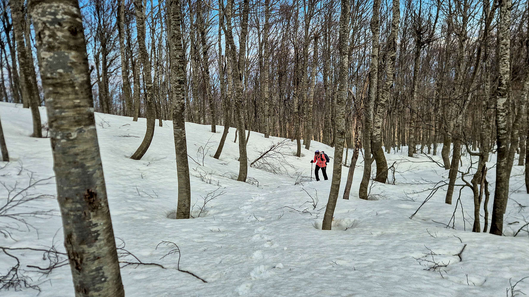
Breaking trail near the summit of Pelion (1,610m).
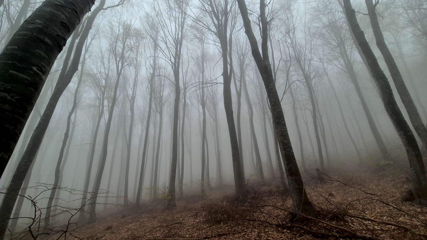
The old-growth Poplar forest in the fog.
Today the quaint villages, lush forests, and crystal clear beaches found throughout the massif have made it a quintessential vacation destination within Greece. Still road connectivity is poor, with the majority of visitors staying on the accessible Western slopes above Volos (”Βόλος”), and few venturing as far as the Pelion Ski Center, or the villages of the Eastern slopes. The trail network on the mountain is well developed but in general avoids the military bases of the high summits.
Route
Observing a hiking map of Pelion (1,610m), it is often the convoluted roads leading to its upper reaches that draw the eye. That is partly the result of both steep topography and extensive human development. Looking for a demanding training route ahead of our upcoming expedition, I was immediately drawn to the idea of an ascent via the NE “Ridge”, perhaps even starting from sea level. But with the descent complicated by uncertain military limits, we ruled out a sea-to-summit attempt and instead planned a traverse from Pouri (“Πουρί”) to Makrinitsa (“Μακρυνίτσα”). This reduced the elevation gain but added serious distance on the descent. At 17.8km and 1,250m of gain, it is considered one of the most challenging routes on Pelion, and after Storm Daniel it demands both good physical condition and solid navigation.
Having had little time to settle into the mountain, we awoke under the brilliant light of the Aegean sun. As Aris drove us from our hotel in Zagora (“Ζαγορά”) to Pouri, we enjoyed wide views of the sea far below. The short drive was a welcome prelude before we unceremoniously followed the trail through the village. A total of 1,200m of gain lay between us and the summit, which we expected to reach in around four hours. The village cats scurried along the drainage channel that marked our way, and soon the cobbles gave way to dirt.
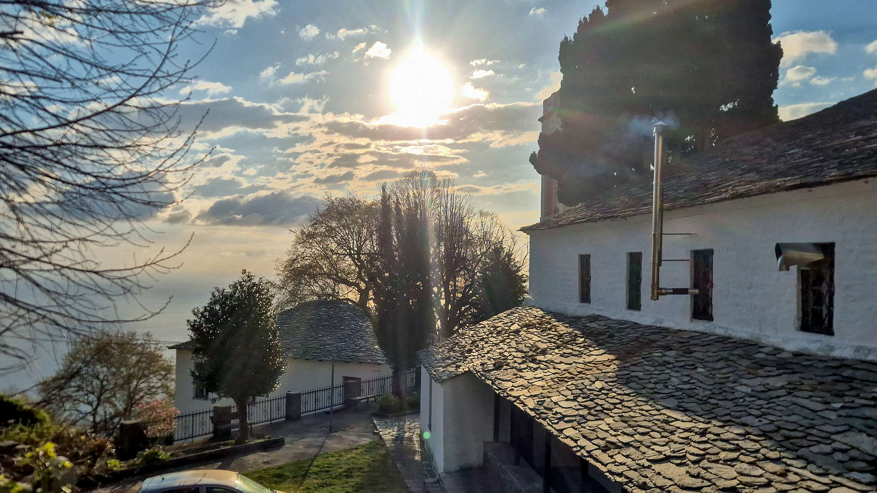
Morning sun over Pouri, with views of the Aegean.
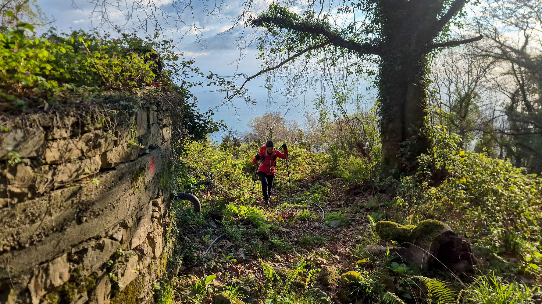
Making our way above the village of Pouri.
Above Pouri, the untamed character of the NE aspect made itself immediately known as we navigated lush, overgrown terrain; the red point was our only constant companion. Still close to the village, our route crossed cultivated plots, mostly cherries (Prunus), before gradually gaining the ridge proper. About 1.5km from Pouri, the first of many water drainages serves as a route marker, a classic Pelion feature. Here the route briefly steepens, reaching the final rise before entering denser high-altitude forest, but it remains manageable with a combination of FSRs and wide, rough trails. So far, the difficulty does not exceed T2.
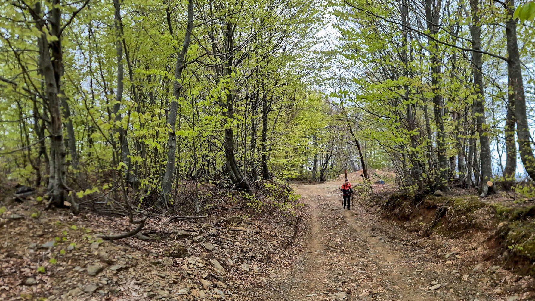
Hiking within the lush forest.
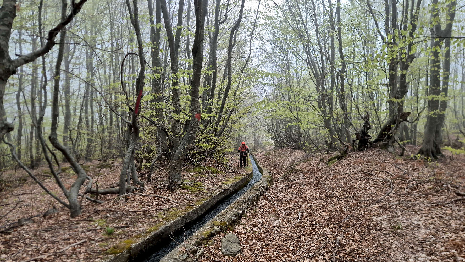
Following a drainage channel after the hail.
It took us roughly 1 hour to gain 400m over 2.0km, and possibly pass the last cultivated land on our route. We took a short break with great views of the Aegean and initially dismissed the dark clouds advancing from the north. It was only after the first few droplets that concern began to set in. I had uncharacteristically left my raincoat in my day-pack, and once under the forest canopy I was even slower to react as the faint drizzle turned into thick tropical rain. We ducked beside a tree just in time to be pelted by hail, until Terry, benefiting from a hard shell, calmly unpacked the emergency poncho from her pack.
The faint drizzle turned into a thick tropical rain…
The hail left as quickly as it came and was replaced by a slow but heavy rain. We then had to navigate a series of steep—and now overflowing—water drainage pipes, which often required balancing on their edges (T3*). Once the front moved past us, the conditions eased, though a dense, humid atmosphere remained; so did we, eventually finding our way out of the difficult section and onto the FSR leading to the Chapel of Agia Marina (“Αγία Μαρίνα”).
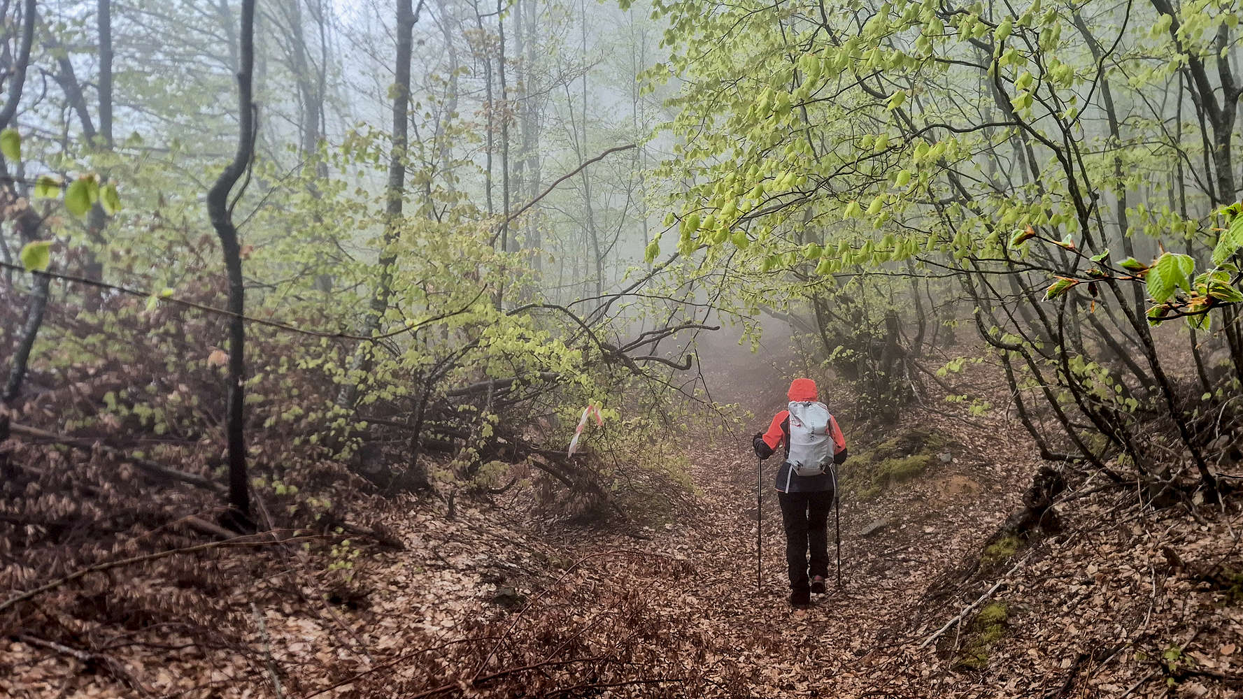
Starting on the steep section just after the chapel.
The incredible yet spooky Poplar forest of Pelion.
At 1,008m, on a plateau of the ridge, the quaint chapel of Agia Marina is the last real outpost before the summit, still 610m above. It gave us a few minutes of shelter and reflection, and its warm interior briefly made the idea of heading back down more appealing. But it was the faint song of birds outside that revived our spirits, and we wasted little time leaving. The summit was now the only goal. The route continued with more of the same, though with less interference from FSRs and slightly steeper ground, before entering a spectacular forest of old-growth poplar (Populus), which gave the day a rather spooky atmosphere in the fog. Navigation here can be extremely difficult, since red-point markings are few and far between; in addition, the forest is often slippery with fallen leaves.
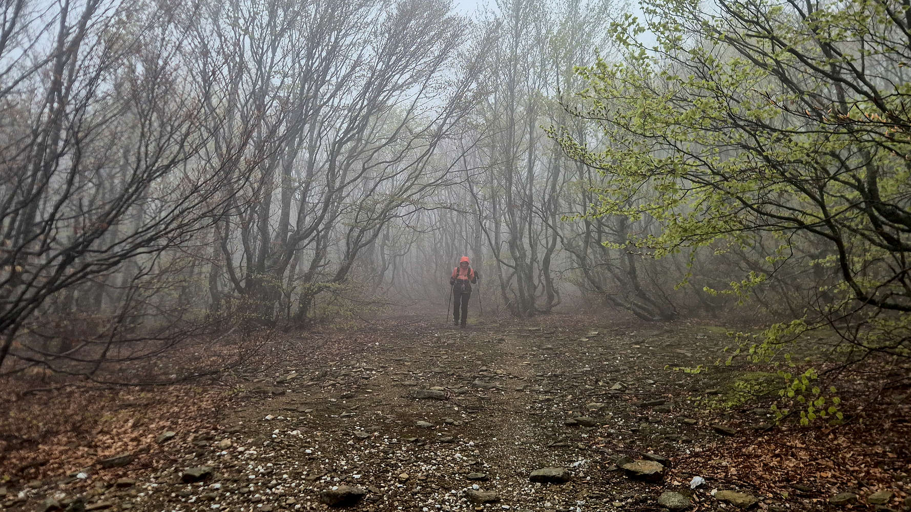
A short section of rougher terrain between forests.
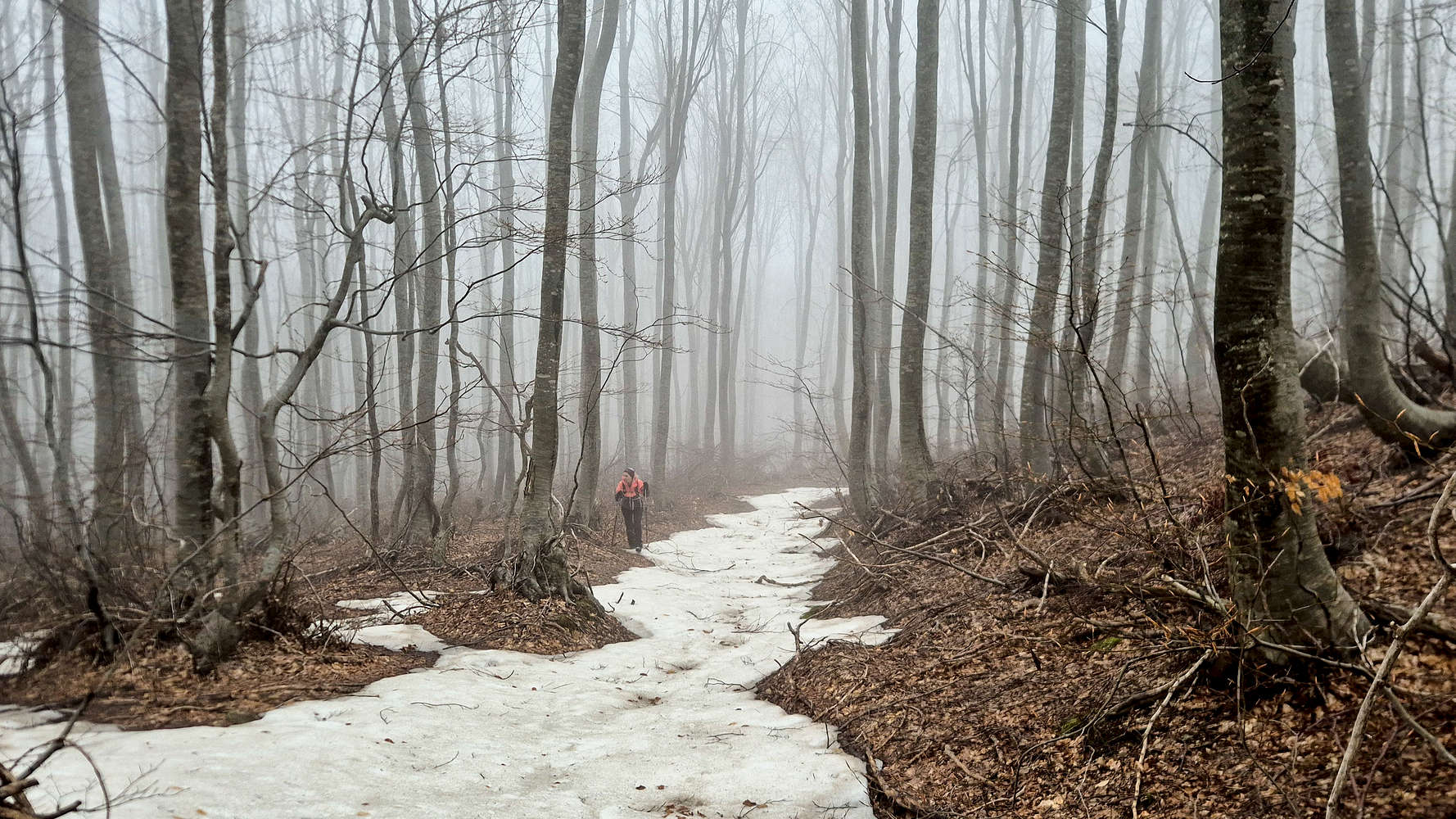
Rejoining the Poplar’s along the snowline.
Slowly but surely, the dense poplar forest gave way as the final “step” of the ridge was reached. The terrain then took an unexpected rocky turn, but remained straightforward (T1+), and this was also the last steep section before the summit. Buoyed by the steadier weather, we continued uphill and soon entered another poplar forest, this time with snow. At first, the long slushy patches could be avoided by skirting the trees. But as elevation was gained, the difficulties became more apparent, and a long traverse across a steep forest slope became the main obstacle (T3). By then I had been breaking trail on snow for no more than 30 minutes, and I mistakenly hoped the snow cover was only a local feature. It was not.
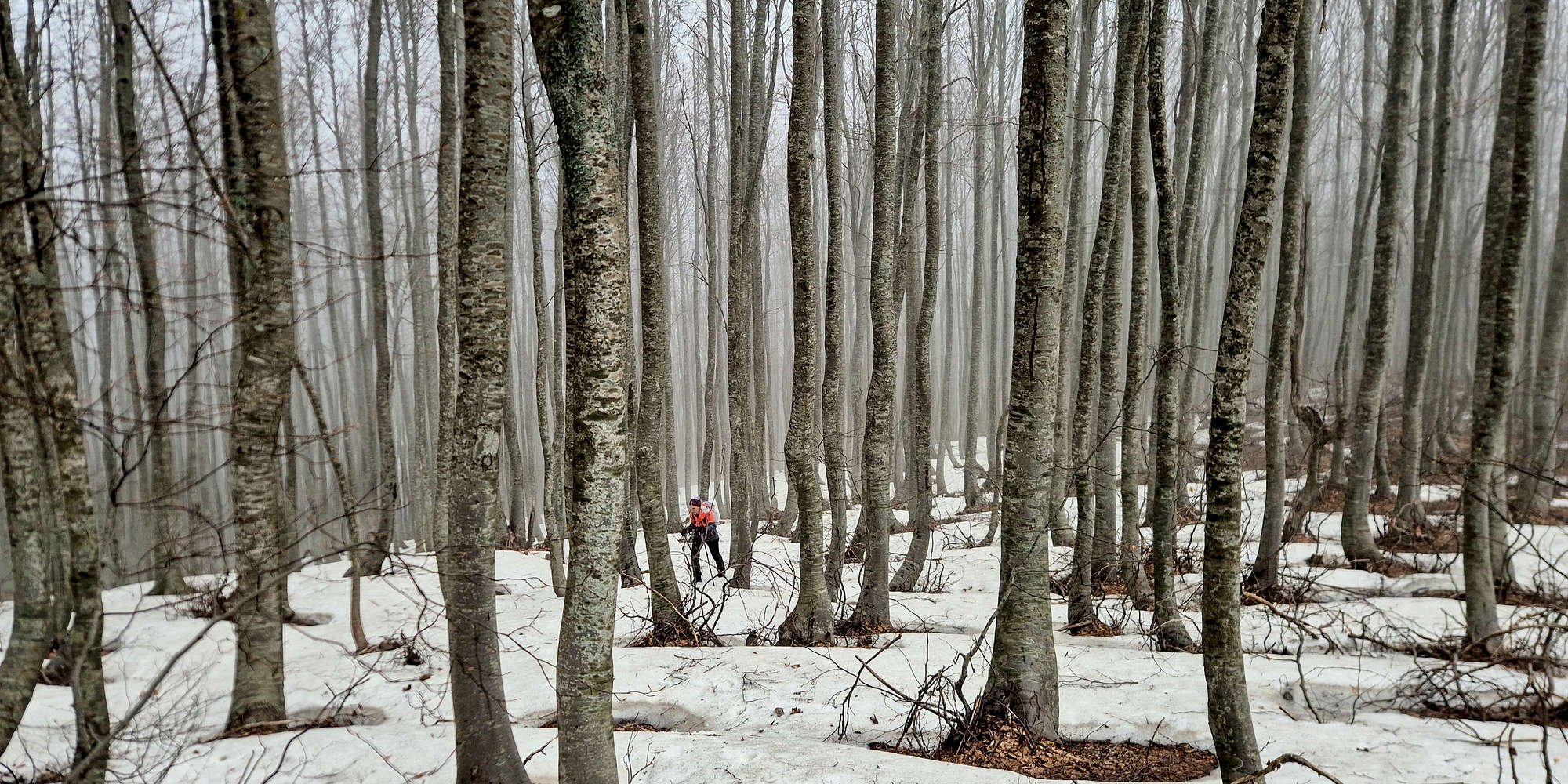
Terry making her way through the Poplar forest.
As we neared 1,300m, the situation became clear: the long canopy-covered crest stretched ahead through the forest, blanketed in snow. About 3 hours into the ascent, the slushy patches made for slow progress as I broke trail through obvious gullies and run-offs. The markings had become increasingly vague and infrequent, so navigation by bearing—and by simply dealing with the terrain immediately ahead—was necessary. Luckily the ground was not especially difficult or steep, and the poplars were pleasantly spaced, giving the route a distinctive atmosphere even as sea views disappeared.
Plodding through a gully near the foresummit.
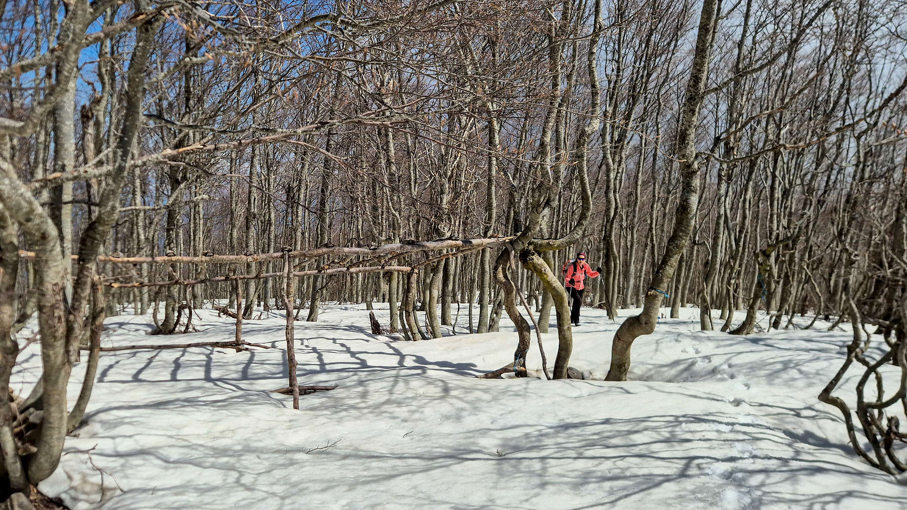
Passing by some wooden structures.
It took us roughly 1 hour to cover the final 2km and 300m of gain leading to the summit cone, a fast time considering the conditions. Near the lower FSR marking the end of the ridge, a small flat gully proved much slower as I plodded on, postholing at every step. Passing the snow-covered FSR felt almost liminal, as did the hunting or defensive wooden structures we encountered on our ascent to the East Foresummit (1,590m). After 4:19 hours and 1,130m of gain, we reached this lower summit, positioned among bunkers and antennas, and got limited views to the North Aegean, but a much more imposing one to Pelion’s peaks. At least the weather had improved.
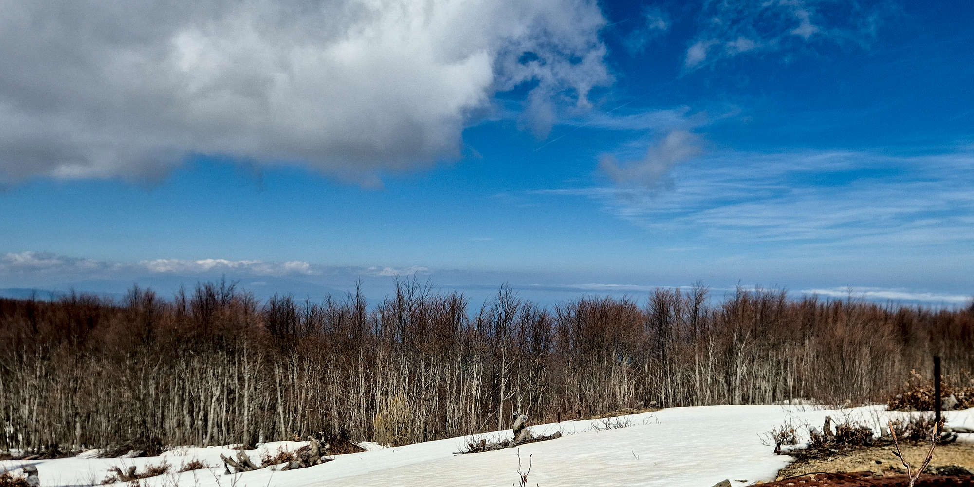
Limited views to the North.
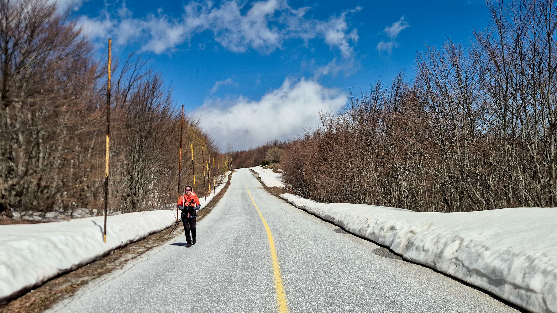
Hiking along the snowbanks.
After a much-needed break in the sun, we considered our options. The summit, and the area we had already entered before the East Foresummit (1,590m), are part of an active military base; however, there is no fence and no trespassing signage. Having realized we were spotted by the countless CCTV cameras anyway, we continued to the summit proper and the massive radar dome next to it. We crossed the summit field after 4:42 hours, trying our best not to look suspicious. We then followed the road and soon began hearing constant barking dogs. In the meantime, I had assumed we would be stopped and had taken out my ID to hold it. As we made a turn, we saw a military jeep coming straight at us, and then another man with a dog behind us. The two military guards asked us, as expected, for ID, only for me to realize I had dropped mine. I had to walk back up the road with one of them, making pleasant small talk. After our IDs were checked, photos from my phone were deleted, a few hurried phone calls were made, and it was time for us to get in and be driven down to the gate. There, our full details were recorded, including calls to local references, before we were allowed to leave. Having forgotten my lighter in Zagora nearly 5 hours earlier, I took the chance to ask for a light and was graciously given a whole pack of matches. Joyful, we exited the base, only to quickly realize that our target trailhead lay back inside.
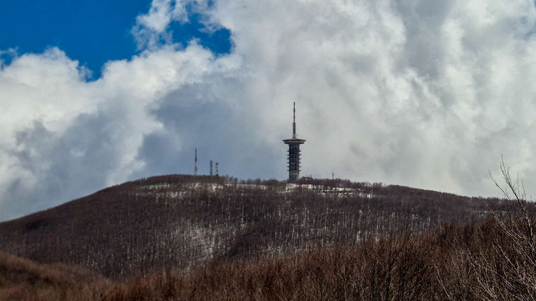
Telecom tower on Aidonaki (1,537m).
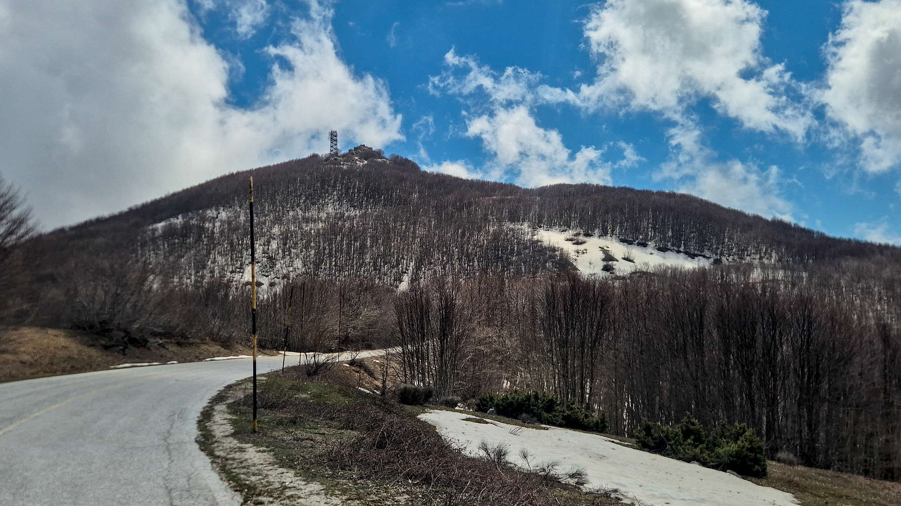
Pleisidi (1,547m) as seen from the access road.
Not wanting to annoy our hosts, we decided our best course of action was to follow the winding road back to Chania (“Χάνια”), where the rest of the group could meet us. Road-hiking between deep snowdrifts, with a fresh cigarette and some sunshine, let us cover the first kilometers quickly as we descended away from the main summit. After considering some equally winding options to make it to our original destination, we made the necessary calls to plan our meet-up at Chania. The distinctive summits of Pleisidi (1,547m) [P-100] and Aidonaki (1,537m) [P-62] came increasingly closer, until finally, after 1:15 hours from the summit and 6 hours from Pouri, we found ourselves on the final stretch.
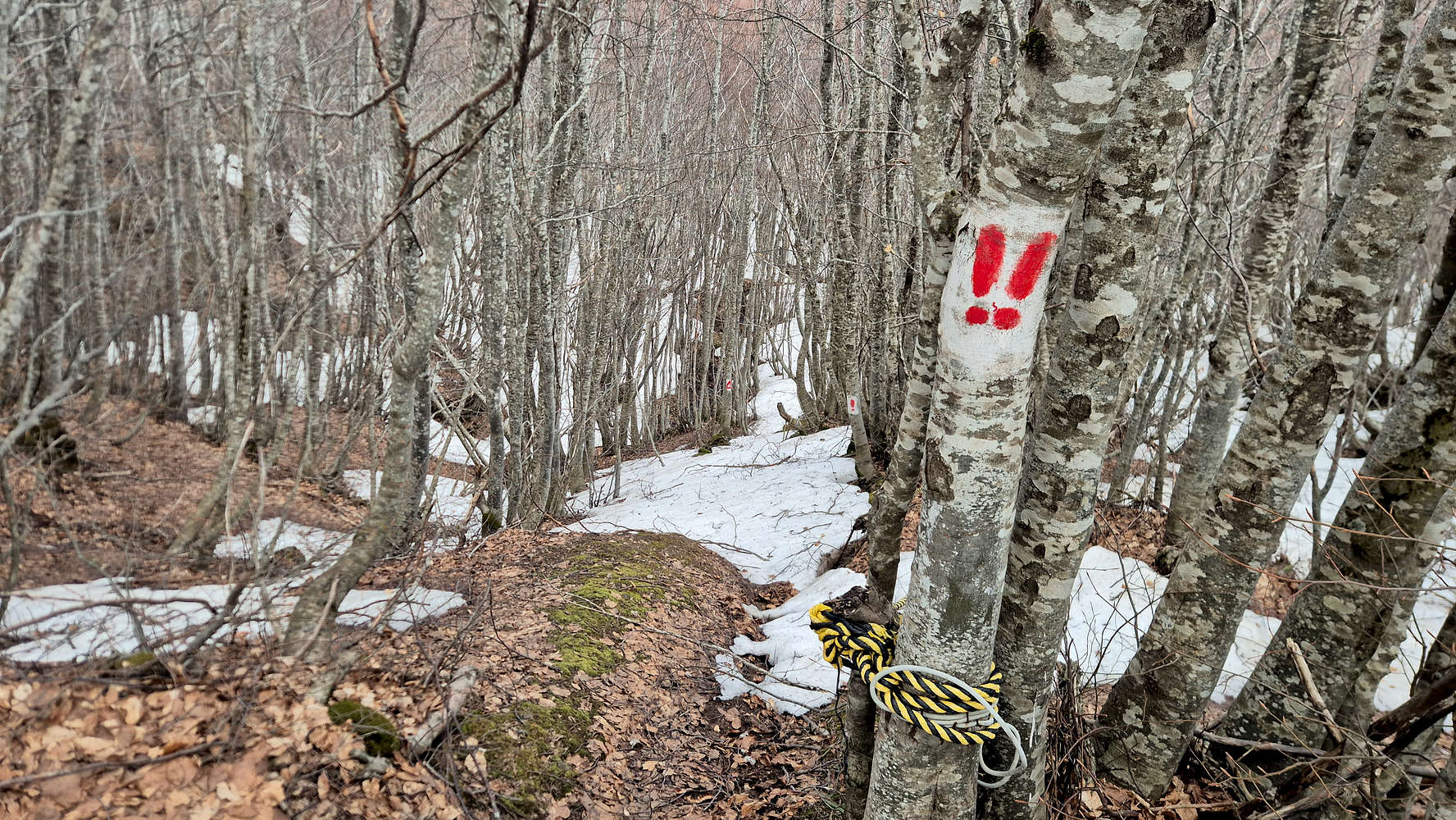
Warning markers for the fixed ropes.
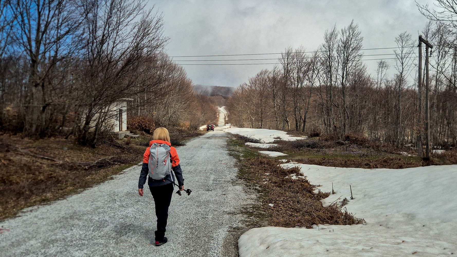
The road to the summit of Aidonaki (1,537m).
Continuing between Pleisidi (1,547m) and Aidonaki (1,537m), we considered our options for descending to Chania, as well as our preferred route to the col. Deciding to try some Ultra markings cutting through a ravine toward Aidonaki (1,537m), we were quickly turned around by fixed ropes; not something worth risking here. Joining the asphalt again, we reached the turn-off toward Aidonaki (1,537m), and with some convincing I got Terry to agree to the trail-based descent. Thus, we followed the access road to the summit of Aidonaki (1,537m) after about 7 hours, and with a quick break we set off on the final leg.
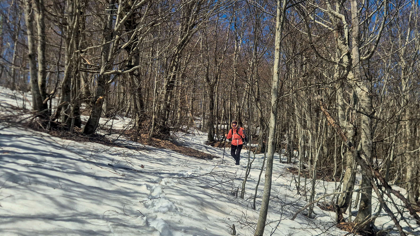
Slushy snow near the summit of Aidonaki (1,537m).
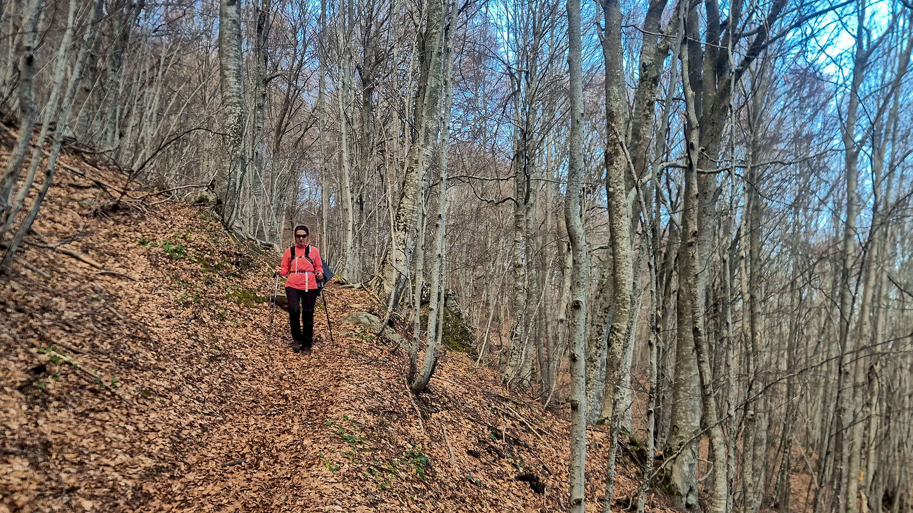
Descending the lower forest near Chania.
This section proved rather tricky, in part because we were following a biking trail, and in part because of the slushy snow of mid-day. We made our way down into the forest and slowly traversed the snowy slopes, grateful for a set of footprints to guide us. The combination of steepness and the slip potential from the cover of fallen leaves, besides the snow, makes this section the crux at T3-. Luckily our skillful approach meant the snow was soon above us, and we could continue on the now more or less obvious, but still steep, track through the forest. Feeling slightly more tame, but equally beautiful, the forest on the south slopes of Aidonaki (1,537m) offered us a slow reintroduction into the human world.
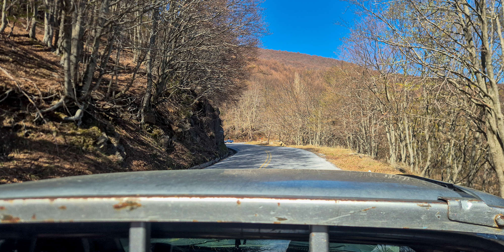
Hitching a ride on a pick-up to avoid the dogs.
But before we could do that, we had to face the canine world, as the turns leading to the higher summits are where packs of stray dogs make their home. At the highest hairpin, we decided to avoid the dogs altogether by downclimbing between the bends and having to jump a 2m wall. Two large guard dogs, presumably from the lonely house on the road, became increasingly interested in us. After I was playfully bitten while removing salami from my sandwich for one of them, they began to snap at us aggressively as we approached the house. Yelling as loudly as possible, backstepping without breaking eye contact, and waving our poles did enough to make the two overprotective fellas let us be. Reaching the final hairpin, we cut past an abandoned house, and as soon as we stepped on asphalt again we saw barking dogs heading right toward us. We retreated to the abandoned house and called Aris to pick us up from there instead, but he was still far away on Pelion’s backroads. Luckily, a passing farmer noticed us and gave us a ride to Chania in the back of his pickup. It was a rather pitiful ending to our hike, but after nearly 8 hours, it meant a very well-earned lunch.
Interactive Map
Logistics
This hike was the main objective of our 2026 Pelion Easter trip, during which we stayed in the village of Zagora on the more remote East side. With the summit completed on the first day, we had plenty of days to explore the nearby beaches, and potentially get some interesting bouldering in. Read more about our 2026 Pelion Easter trip within the linked Trip Report.
Nearby Peaks
The following is a list of significant nearby peaks.