Kalidromo (1,399m) [P-846]
Summited On: October 27, 2025
Region: Thermopyle, Lokris, Fthiotida, Greece.
Overview
Kalidromo (1,399m) [P-846] (”Καλίδρομο”) is a low but large massif which makes up the South part of Maliakos Gulf (”Κόλπος Μαλιακού”) at the border of Phthiotis and Phocis prefectures of Central Greece. The mountain is most well known for forming the Eastern margin of Thermopylae (”Θερμοπύλες”) which was the site of the well-known battle between the Spartans and Persians. Its name mean “that which has a smooth/good road” and refers to the terrain of the upper mountain which is characterized by plateaus and dispersed peaks. As a result, it features beautiful nature with a dense cover of conifers, abundant wildlife, and is - along with Oiti (2,152m) - the southernmost home of bears in Greece.
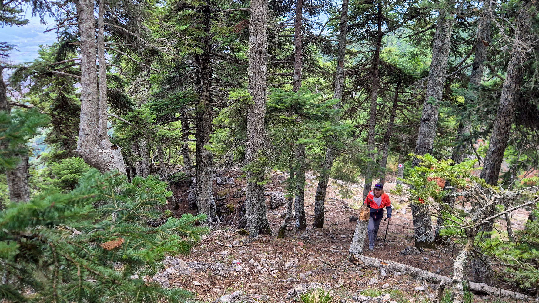
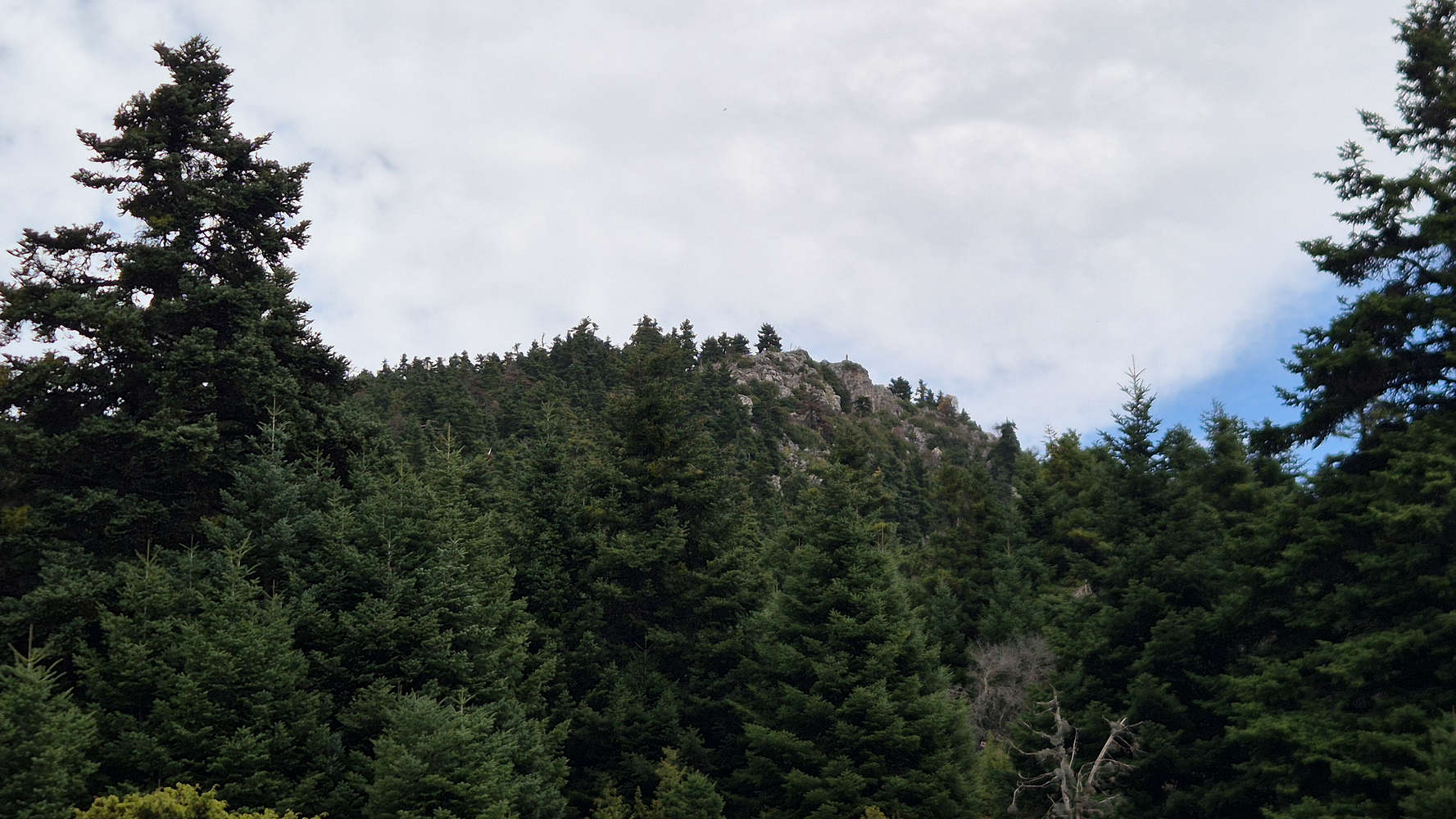
The steep forested slopes of N Kalidromo (1,399m).
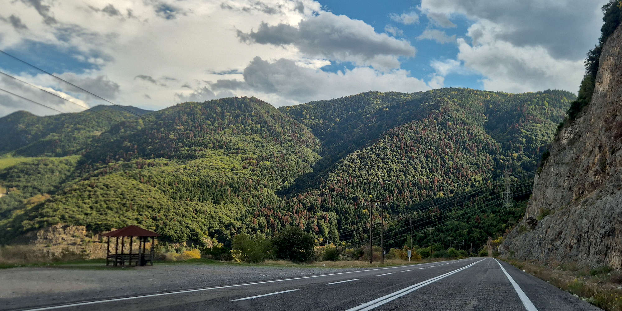
Kalidromo (1,399m) had been in our short list for quite a while due to its proximity to Athens. Terry seemed especially fond of the mountain on account of its easygoing forested terrain. We had previously concluded that since it has good FSR access we would attempt it during the return from some trip, given the trailhead is about 1 hour from the A1 Motorway (Athens - Thessaloniki). Therefore, we put it into our plan for the return day during our “Gate of Pindos” Trip, and expected to hike it, or Narthakion (1,011m). The day found us ascending the winding road towards Eleutherochori (”Ελευθεροχώρι”) past noon, and after not too long we were on the FSR leading into the mountain.
Route
Due to the relatively mild terrain of the upper mountain—above roughly 900m—Kalidromo (1,399m) features an extensive network of forest service roads (FSRs) that often double as marked trails, along with several subsidiary paths. That said, the highest summit, Gkioza (”Γκιόζα”), is only accessible from the west, making the Gkioza trailhead the essential starting point for any marked-trail ascent.
This trailhead is itself reached via the FSR network. Not feeling inclined to hike several forest kilometers, we opted to drive all the way to the base of the summit.
The FSR network on Kalidromo (1,399m) is generally of good quality, allowing access between Eleftherochori and Lake Nevropolis with a 2WD vehicle. Continuing toward the Gkioza trailhead, the road grows rockier and occasionally muddy, though neither high clearance nor 4WD is strictly required. By contrast, the NNE approach appeared far muddier and would likely demand 4WD if coming from Mendenitsa (”Μενδενίτσα”). Roads from Paliochori (”Παλαιοχώρι”) seemed the least maintained, likely due to steeper terrain.
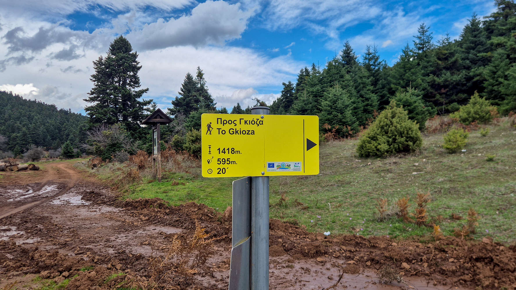
The Gkioza trailhead sign
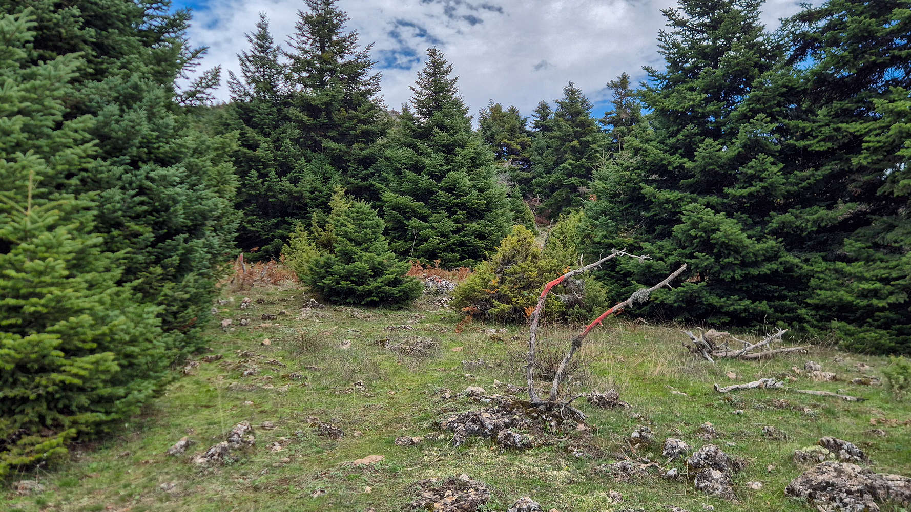
Paint on trees leads the way
After nearly an hour’s drive from Eleftherochori—and running low on fuel—we reached the clearing below Gkioza (1,399m) and parked. To the north, weather over Elati had closed in, but here high overcast and strong winds kept the air clear and conditions pleasant. Leaving the car beside the trailhead, we set off for the short ascent to the summit.
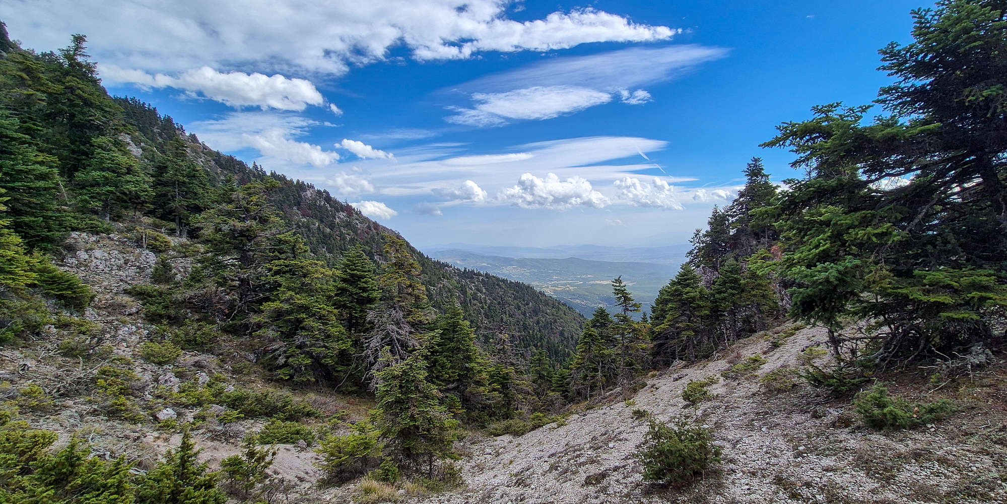
The distinctive valley and scree on Kalidromo (1,399m).
Crossing a small field, we entered open forest and began to gain elevation. Though the trail lacked a defined track, its direction was obvious and marked intermittently (T2). Moving among sparse firs, we soon emerged atop a small valley with excellent views east-southeast toward Amfikleia (”Αμφίκλεια”).
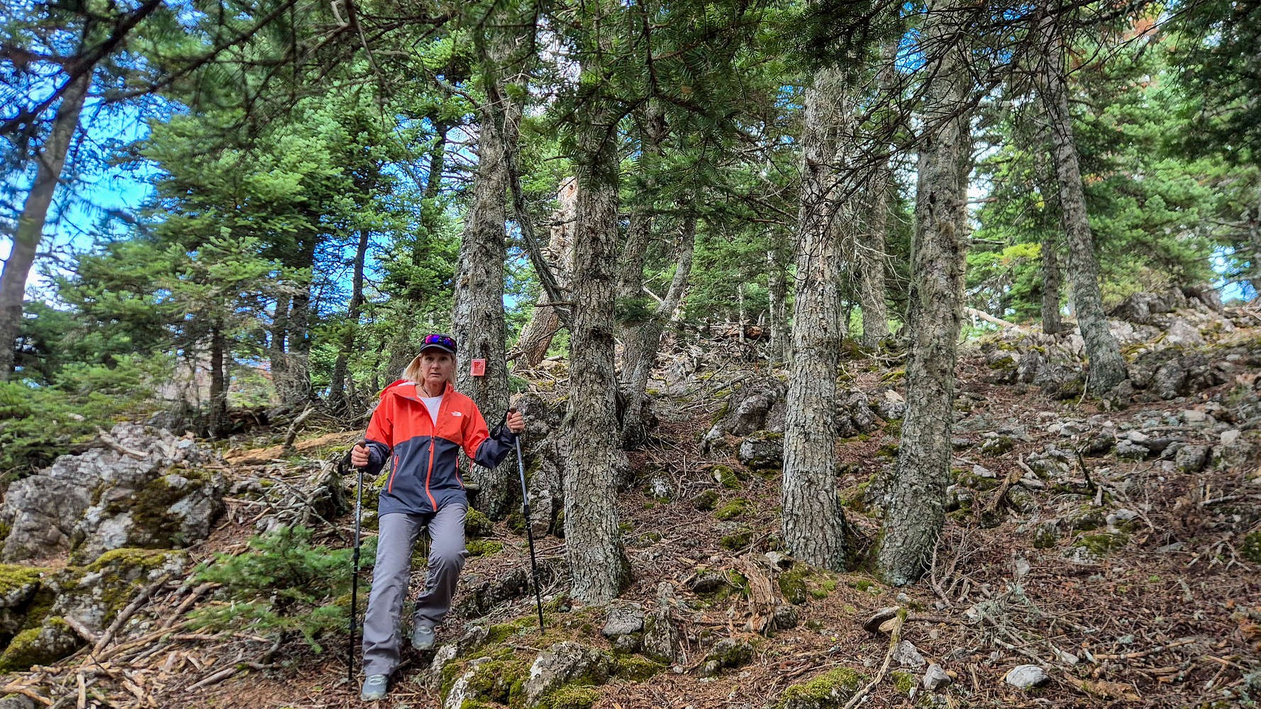
Hiking in the upper Kalidromo (1,399m) forest.
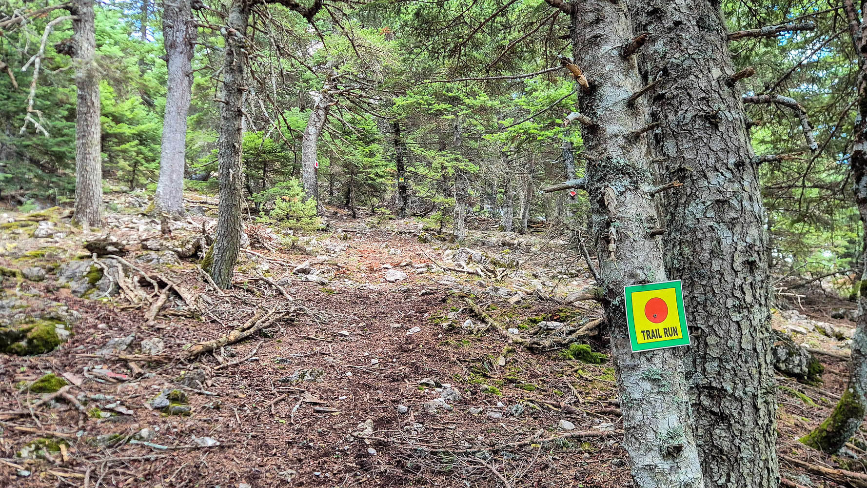
The trail, and trail markings.
Continuing through the col, we began the direct ascent of the summit cone. The trail alternated between faint tread and open slope as scattered markings revealed multiple equivalent variations (T2). The mix of “Trail Run” flags and red blazes offered a straightforward line just left of the airy crest.
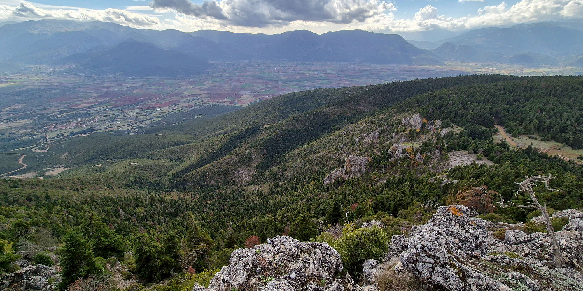
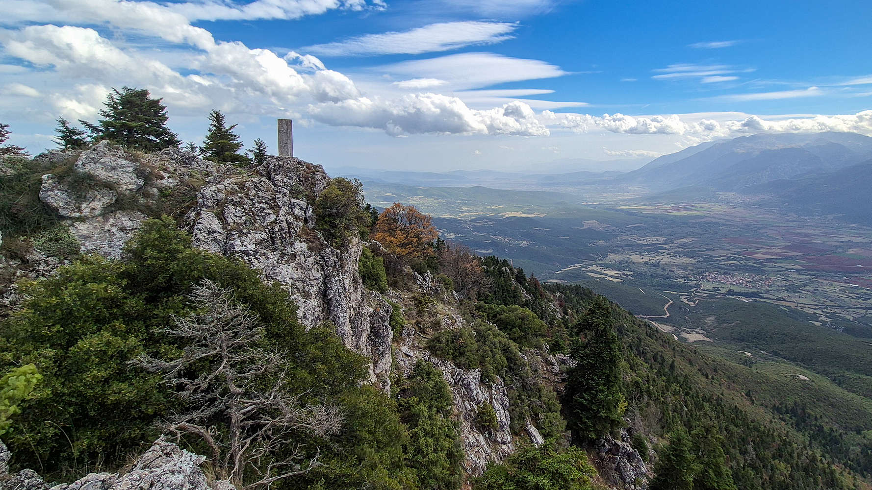
Looking towards Gravia from Kalidromo (1,399m).
A brief detour rightward provided a fine vantage to capture the sheer, forested drop of Kalidromo (1,399m) to the south. Despite the developed FSR network, the mountain retains a notable sense of wildness.
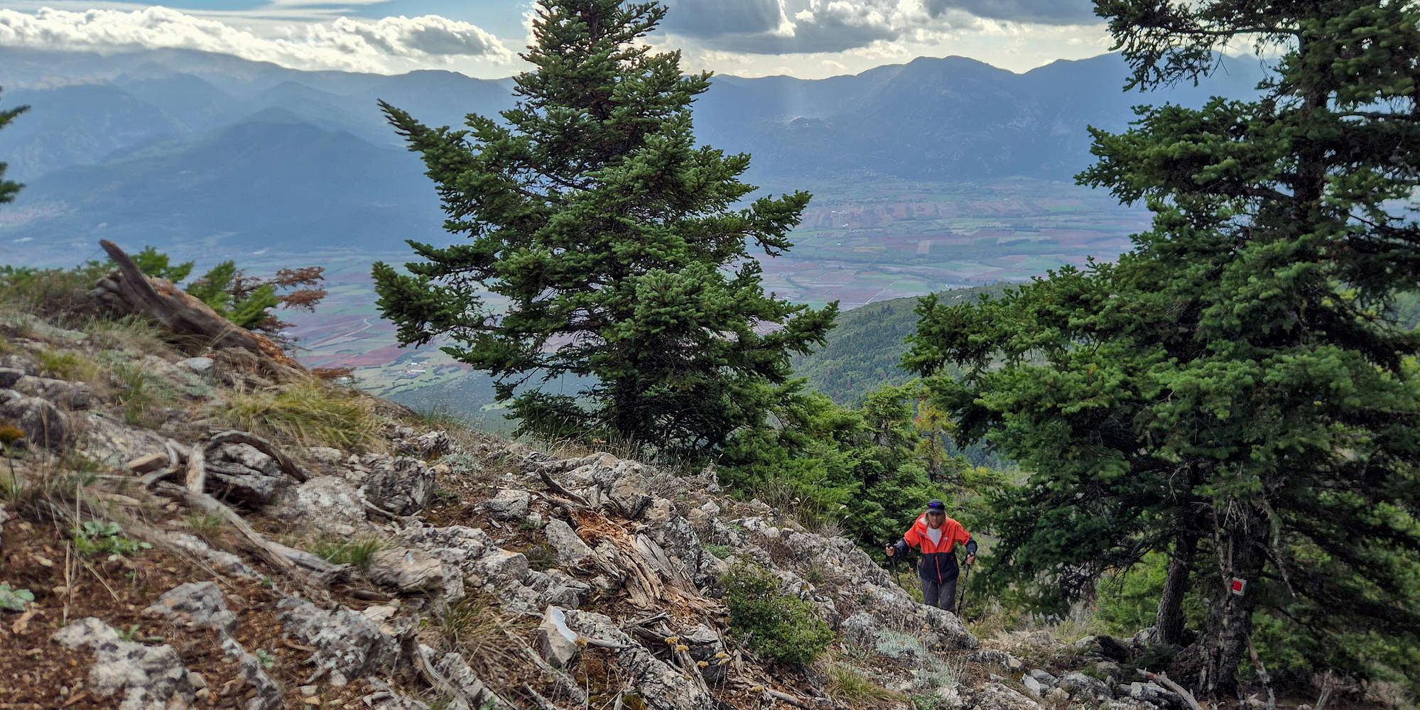
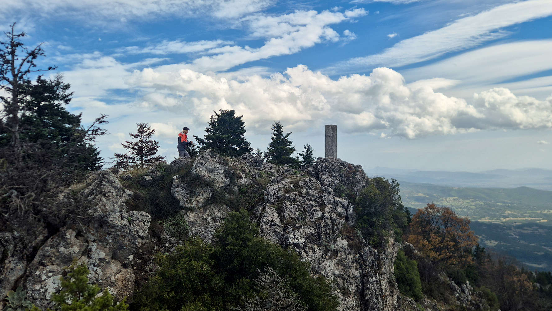
Terry topping out near the summit of Kalidromo (1,399m).
Following the markings up the final steep section (T2), we broke onto the limestone summit ridge—short but rewarding—and were quickly reminded of the strong WNW wind sweeping across the crest.
The summit of Kalidromo (1,399m) from the forepeak.
Terry at the summit of Kalidromo (1,399m).
I paused at the western forepeak to take in the view of the main summit block and the rolling terrain beyond. Terry led the short traverse between the two tops (T2-) and reached the summit proper. The ascent, covering 135m of gain, took just 17 minutes.
We lingered briefly on the summit, enjoying expansive views from this last highpoint of our trip. After a few photos, some water, and a snack, we began our descent.
Descending from the summit of Kalidromo (1,399m).
The summit of Gkioza (1,399m) from the TH.
The return, following the most direct path, took no more than 12 minutes. Back at the car, satisfied with a relaxed final climb to close our Gate of Pindos trip, our focus turned to finding a gas station before the tank ran dry.